
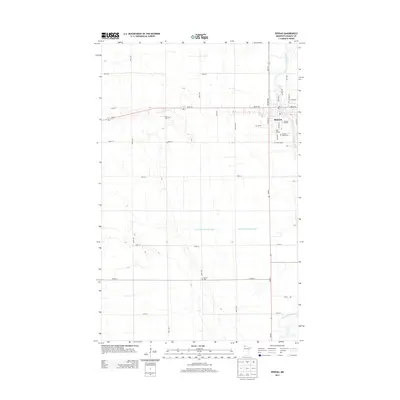
1976 Map of Roseau
USGS Topo · Published 1994About this map
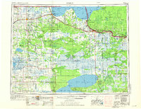
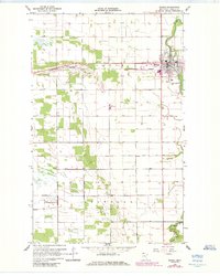
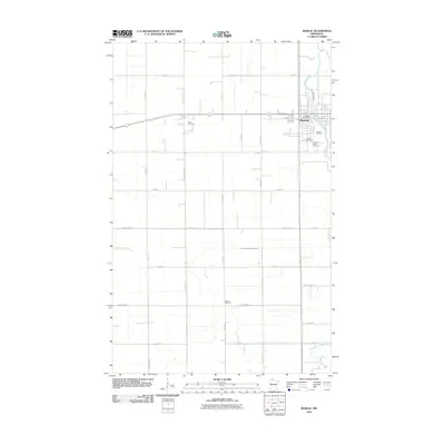
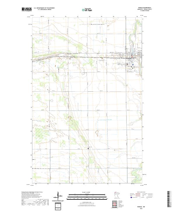
The Lake of the Woods shoreline dominates the northeastern reaches of this northern Minnesota landscape, marking the international boundary between Manitoba and Minnesota. Near the shore, the rail-oriented town of Warroad serves as a hub where the Soo Line railroad tracks meet the waters of Muskeg Bay. Further west, the county seat of Roseau sits at the confluence of agricultural townships like Jadis and Spruce, where an extensive network of drainage projects including Judicial Ditch No 61 and Ditch No 18 have altered the marshy terrain for settlement.
Find a feature on this map
73 named features on this map. Tap any name to fly to it.
Don’t see what you’re looking for? This feature index may not catch every label — zoom into the map to look around manually.
Map Details
Editions of this 1976 Roseau Map
This is the sole edition of this map. No revisions or reprints were ever made.
Historical Maps of Roseau Through Time
11 maps found
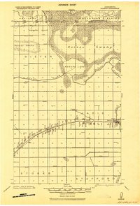
1918 Roseau
Roseau County, MN
1954 Roseau
Roseau County, MN

1957 Roseau
Roseau County, MN

1958 Roseau
Roseau County, MN
1966 Roseau
Roseau County, MN
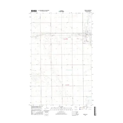
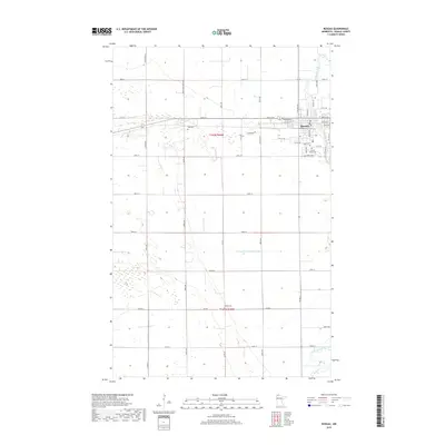
1976 Roseau
Roseau County, MN
2010 Roseau
Roseau County, MN
2013 Roseau
Roseau County, MN
2016 Roseau
Roseau County, MN
2019 Roseau
Roseau County, MN
2022 Roseau
Roseau County, MN