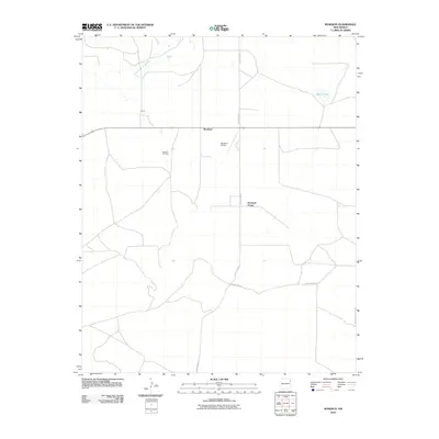
2010 Map of Rosebud
USGS Topo · Published 2010About this map
Rosebud and the surrounding high plains of Harding County are documented here in a modern survey that highlights the sparse, agricultural nature of northeastern New Mexico. The landscape is defined by the winding course of the Arroyo de la Cejita to the northwest and the isolated Matis Lake to the northeast. Human activity is centered along a network of section-line roads, including County Road G, which connects the small settlement of Brune with the local community hub.
Find a feature on this map
9 named features on this map. Tap any name to fly to it.
Don’t see what you’re looking for? This feature index may not catch every label — zoom into the map to look around manually.
Map Details
Editions of this 2010 Rosebud Map
This is the sole edition of this map. No revisions or reprints were ever made.
Other maps of this area

1954 · Tucumcari
USGS Topo · 1:250,000

1958 · Tucumcari
USGS Topo · 1:250,000

1966 · Rosebud
USGS Topo · 1:24,000

1966 · Ione
USGS Topo · 1:24,000

1966 · Hayden
USGS Topo · 1:24,000

1966 · Cherokee Valley
USGS Topo · 1:24,000

1966 · Cottonwood Springs
USGS Topo · 1:24,000

1966 · Mc Cloy Ranch
USGS Topo · 1:24,000

1969 · Gallegos NE
USGS Topo · 1:24,000

1973 · Bueyeros NE
USGS Topo · 1:24,000