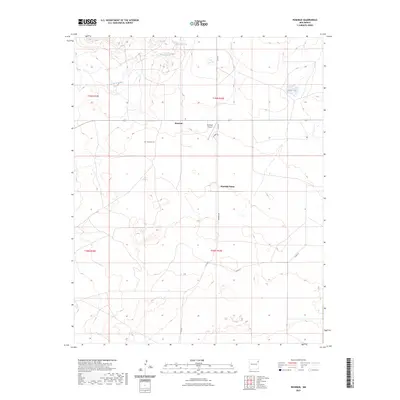
2023 Map of Rosebud
USGS Topo · Published 2023About this map
Rosebud and the adjacent Rosebud Farms anchor this landscape in Harding County, where small agricultural holdings and ranching land define the terrain. The presence of the Rosebud Cem serves as a critical point of interest for genealogists tracing families in this corner of New Mexico. Water remains the primary shaper of the land, with Arroyo de la Cejita cutting through the northern sections and Hackberry Springs providing a localized water source. Transport and local industry are marked by the Rosebud Airport and a network of rural routes including Co RD G and Rosebud RD. This survey captures the quiet, dispersed nature of rural settlement in the high plains, where even small features like Matis Lake are significant landmarks in an otherwise open landscape.
Find a feature on this map
14 named features on this map. Tap any name to fly to it.
Don’t see what you’re looking for? This feature index may not catch every label — zoom into the map to look around manually.
Map Details
Editions of this 2023 Rosebud Map
This is the sole edition of this map. No revisions or reprints were ever made.
Other maps of this area

1954 · Tucumcari
USGS Topo · 1:250,000

1958 · Tucumcari
USGS Topo · 1:250,000

1966 · Rosebud
USGS Topo · 1:24,000

1966 · Ione
USGS Topo · 1:24,000

1966 · Hayden
USGS Topo · 1:24,000

1966 · Cherokee Valley
USGS Topo · 1:24,000

1966 · Cottonwood Springs
USGS Topo · 1:24,000

1966 · Mc Cloy Ranch
USGS Topo · 1:24,000

1969 · Gallegos NE
USGS Topo · 1:24,000

1973 · Bueyeros NE
USGS Topo · 1:24,000