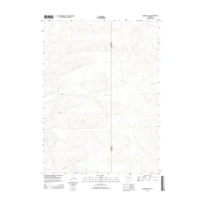
2014 Map of Rosebud Lake
USGS Topo · Published 2014About this map
The N Fork Dismal River winds through the sandhills of central Nebraska, defining the hydrologic character of this remote landscape along the border of Hooker and Grant counties. This 2014 survey captures the sparsely populated terrain where narrow corridors like Whitman Rd and Gravel Ln provide the primary access to the region's scattered water features. To the east, Rosebud Lake serves as a notable landmark amidst the undulating topography. The lack of traditional town centers or dense infrastructure highlights the area's enduring reliance on natural watercourses and a minimalist network of county roads like Buffalo Ln to navigate the expansive cattle country of the Nebraska Sandhills.
Find a feature on this map
6 named features on this map. Tap any name to fly to it.
Don’t see what you’re looking for? This feature index may not catch every label — zoom into the map to look around manually.
Map Details
Editions of this 2014 Rosebud Lake Map
This is the sole edition of this map. No revisions or reprints were ever made.
Other maps of this area

1948 · Carr Lake
USGS Topo · 1:62,500

1948 · Spring Valley
USGS Topo · 1:62,500

1949 · Arthur
USGS Topo · 1:62,500

1949 · Flats
USGS Topo · 1:62,500

1950 · Flats
USGS Topo · 1:62,500

1950 · Spring Valley
USGS Topo · 1:62,500

1950 · Carr Lake
USGS Topo · 1:62,500

1950 · Arthur
USGS Topo · 1:62,500

1954 · North Platte
USGS Topo · 1:250,000

1956 · North Platte
USGS Topo · 1:250,000