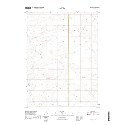
2017 Map of Rosebud Lake
USGS Topo · Published 2017About this map
Rosebud Lake and the winding course of the N Fork Dismal River dominate this segment of the Sandhills along the border of Grant and Hooker counties. The landscape is characterized by a sparse network of access roads that follow the natural contours of the undulating terrain, including Rush Creek Ln and Schufeldt Ln. These roads reflect the rural, ranch-driven development of the region, where large tracts of land are partitioned into townships like t22n r36w and t21n r35w. The infrastructure here is minimal, consisting primarily of named lanes such as Buffalo Head Ln and Haney Ln that serve remote outposts. This detailed survey provides a clear view of the hydrography and topographic elevations that dictate the placement of transportation routes and land boundaries in this part of Nebraska.
Find a feature on this map
16 named features on this map. Tap any name to fly to it.
Don’t see what you’re looking for? This feature index may not catch every label — zoom into the map to look around manually.
Map Details
Editions of this 2017 Rosebud Lake Map
This is the sole edition of this map. No revisions or reprints were ever made.
Other maps of this area

1948 · Carr Lake
USGS Topo · 1:62,500

1948 · Spring Valley
USGS Topo · 1:62,500

1949 · Arthur
USGS Topo · 1:62,500

1949 · Flats
USGS Topo · 1:62,500

1950 · Flats
USGS Topo · 1:62,500

1950 · Spring Valley
USGS Topo · 1:62,500

1950 · Carr Lake
USGS Topo · 1:62,500

1950 · Arthur
USGS Topo · 1:62,500

1954 · North Platte
USGS Topo · 1:250,000

1956 · North Platte
USGS Topo · 1:250,000