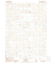
1985 Map of Rosebud Lake
USGS Topo · Published 1986About this map
The North Fork Dismal River meanders across the Sandhills of the Nebraska interior, providing a rare surface water source in an otherwise arid, dune-dominated landscape. This 1980s landscape is defined by its isolation and the critical importance of ranching infrastructure, such as the M Vinton Ranch and S Bar Ranch. Mapping here highlights the vital role of water management in a remote environment, specifically noting a Flowing Well and the namesake Rosebud Lake at the river's bend. The boundary between Grant Co and Hooker Co bisects the survey, marking a line through shifting sands where few roads or permanent structures exist.
Find a feature on this map
6 named features on this map. Tap any name to fly to it.
Don’t see what you’re looking for? This feature index may not catch every label — zoom into the map to look around manually.
Map Details
Editions of this 1985 Rosebud Lake Map
This is the sole edition of this map. No revisions or reprints were ever made.
Other maps of this area

1948 · Carr Lake
USGS Topo · 1:62,500

1948 · Spring Valley
USGS Topo · 1:62,500

1949 · Arthur
USGS Topo · 1:62,500

1949 · Flats
USGS Topo · 1:62,500

1950 · Flats
USGS Topo · 1:62,500

1950 · Spring Valley
USGS Topo · 1:62,500

1950 · Carr Lake
USGS Topo · 1:62,500

1950 · Arthur
USGS Topo · 1:62,500

1954 · North Platte
USGS Topo · 1:250,000

1956 · North Platte
USGS Topo · 1:250,000