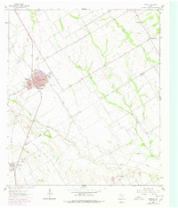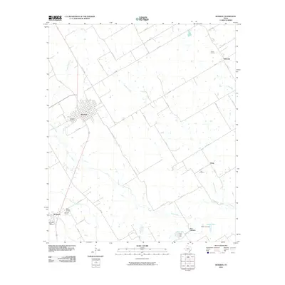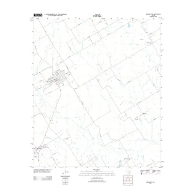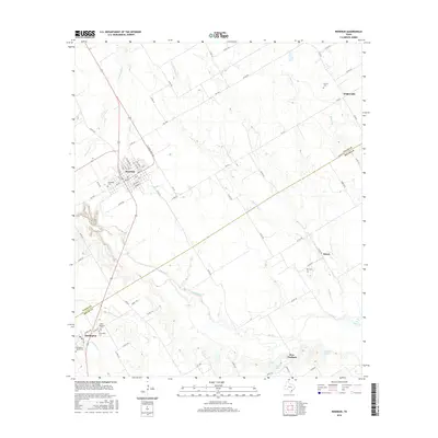
2022 Map of Rosebud
USGS Topo · Published 2022About this map
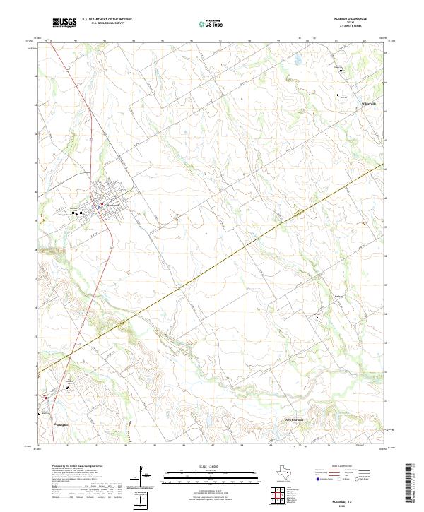
Rosebud serves as a central hub in this Central Texas landscape, where the street grid of the town site contrasts with the expansive drainage basins of Pond Creek and Big Briary Cr. The map is particularly dense with genealogical sites, documenting numerous family and community burial grounds such as Powers Chapel Cem and Ray Cem that anchor the rural countryside. The boundary between Falls Co and Milam Co cuts diagonally across the southern portion of the sheet, dividing smaller settlements like Burlington and New Clarkson. The terrain is defined by a network of seasonal watercourses including Cottonwood Cr and Salt Cr, while larger bodies of water like Gibson Lake and Hauk Lake appear near the southern reaches. This modern survey provides a clear view of the rural road network, from N State Loop 265 to the many numbered county roads that connect these historic farming communities.
Find a feature on this map
80 named features on this map. Tap any name to fly to it.
Don’t see what you’re looking for? This feature index may not catch every label — zoom into the map to look around manually.
Map Details
Editions of this 2022 Rosebud Map
This is the sole edition of this map. No revisions or reprints were ever made.
Historical Maps of Rosebud Through Time
6 maps found