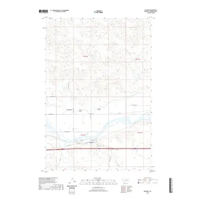
2020 Map of Rosebud
USGS Topo · Published 2020About this map
The Yellowstone River serves as the central artery for this portion of Rosebud County, Montana, carving through a landscape defined by significant drainage features and agricultural infrastructure. To the north of the river, the Cartersville Canal and smaller settlements like Cartersville highlight the region's reliance on river water for irrigation, while the rugged coulee terrain is marked by named features like Luterson Coulee and Johnson Coulee.
Find a feature on this map
28 named features on this map. Tap any name to fly to it.
Don’t see what you’re looking for? This feature index may not catch every label — zoom into the map to look around manually.
Map Details
Editions of this 2020 Rosebud Map
This is the sole edition of this map. No revisions or reprints were ever made.
Other maps of this area
1954 · Forsyth
USGS Topo · 1:250,000
1957 · Forsyth
USGS Topo · 1:250,000
1958 · Forsyth
USGS Topo · 1:250,000
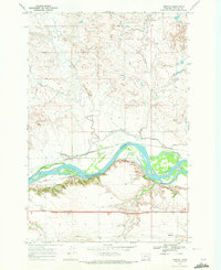
1968 · Orinoco
USGS Topo · 1:24,000
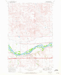
1968 · Rosebud
USGS Topo · 1:24,000
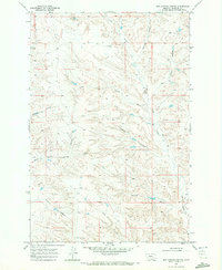
1968 · Box Canyon Coulee
USGS Topo · 1:24,000
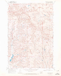
1968 · Sand Buttes
USGS Topo · 1:24,000
1968 · Schultz Coulee
USGS Topo · 1:24,000
1968 · Thurlow
USGS Topo · 1:24,000
1971 · Smith Creek NE
USGS Topo · 1:24,000