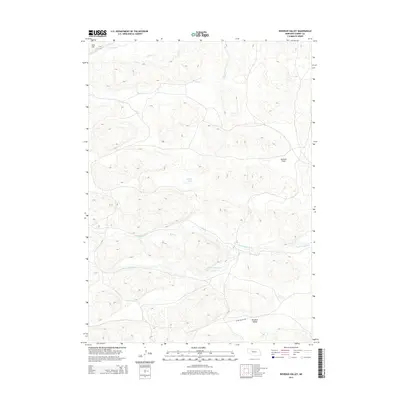
2014 Map of Rosebud Valley
USGS Topo · Published 2014About this map
Rosebud Valley lies at the heart of this Cherry County landscape, situated along a bend in the North Loup River. The area is defined by its complex hydrology and subtle terrain changes, where Mud Cr feeds into the river system amidst a series of depressions and elevated points like Aljo Hill. In the northern reaches, Gordon Cr and Betsy Cr drain the sandy hills, while Palmer Lake provides a notable water feature in the central basin. The presence of German Flats indicates a localized transition in the topography, likely used for grazing or early agriculture. Infrastructure is sparse, anchored by W Dry Valley Rd which skirts the valley floor, reflecting the low-density settlement patterns and ranching heritage of this portion of the Nebraska Sandhills.
Find a feature on this map
9 named features on this map. Tap any name to fly to it.
Don’t see what you’re looking for? This feature index may not catch every label — zoom into the map to look around manually.
Map Details
Editions of this 2014 Rosebud Valley Map
This is the sole edition of this map. No revisions or reprints were ever made.
Other maps of this area

1949 · Big Falls
USGS Topo · 1:62,500

1950 · Powderhorn Valley
USGS Topo · 1:62,500

1950 · Doughboy
USGS Topo · 1:62,500

1950 · Wolf Lake
USGS Topo · 1:62,500

1951 · Big Falls
USGS Topo · 1:62,500

1951 · Wolf Lake
USGS Topo · 1:62,500

1952 · Doughboy
USGS Topo · 1:62,500

1957 · Valentine
USGS Topo · 1:250,000

1959 · Valentine
USGS Topo · 1:250,000

1985 · Powderhorn Valley SW
USGS Topo · 1:24,000