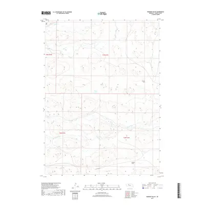
2017 Map of Rosebud Valley
USGS Topo · Published 2017About this map
Rosebud Valley serves as the focal point of this Nebraska landscape, characterized by the meandering drainage systems typical of the region. The N Loup River and its transition into the main Loup River course through the southern half of the quadrangle, creating a complex network of seasonal wetlands and streams including Mud Cr. Further north, the terrain rises toward Aljo Hill and the broad, level expanse of German Flats. This area is defined by its water-dependent geography, where isolated features like Palmer Lake and the headwaters of Gordon Cr dot the undulating Sandhills topography. The sparse road network, anchored by W Dry Valley Rd, highlights the rural nature of the county during this period, showing how few transit corridors cross this section of the state.
Find a feature on this map
14 named features on this map. Tap any name to fly to it.
Don’t see what you’re looking for? This feature index may not catch every label — zoom into the map to look around manually.
Map Details
Editions of this 2017 Rosebud Valley Map
This is the sole edition of this map. No revisions or reprints were ever made.
Other maps of this area

1949 · Big Falls
USGS Topo · 1:62,500

1950 · Powderhorn Valley
USGS Topo · 1:62,500

1950 · Doughboy
USGS Topo · 1:62,500

1950 · Wolf Lake
USGS Topo · 1:62,500

1951 · Big Falls
USGS Topo · 1:62,500

1951 · Wolf Lake
USGS Topo · 1:62,500

1952 · Doughboy
USGS Topo · 1:62,500

1957 · Valentine
USGS Topo · 1:250,000

1959 · Valentine
USGS Topo · 1:250,000

1985 · Powderhorn Valley SW
USGS Topo · 1:24,000