
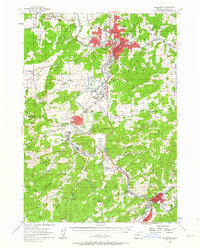
1955 Map of Roseburg
USGS Topo · Published 1957About this map
Roseburg and its surrounding valleys are defined by the convergence of the North Umpqua River and South Umpqua River during the mid-1950s. The landscape is a mix of river-bottom agriculture and timber industry infrastructure, with the Southern Pacific railroad and Pacific Hwy serving as the primary corridors for transport and settlement. Significant civic landmarks like the Veterans Hospital and the Municipal Airport near Edenbower reflect the post-war growth of the region.
Find a feature on this map
90 named features on this map. Tap any name to fly to it.
Don’t see what you’re looking for? This feature index may not catch every label — zoom into the map to look around manually.
Map Details
Editions of this 1955 Roseburg Map
4 editions found
Other maps of this area

1897 · Roseburg
USGS Topo · 1:125,000

1900 · Roseburg
USGS Topo · 1:125,000

1904 · Riddle
USGS Topo · 1:125,000

1928 · Sitkum
USGS Topo · 1:125,000

1946 · Dutchman Butte
USGS Topo · 1:62,500

1948 · Dutchman Butte
USGS Topo · 1:62,500

1954 · Dixonville
USGS Topo · 1:62,500

1954 · Sutherlin
USGS Topo · 1:62,500

1954 · Days Creek
USGS Topo · 1:62,500

1954 · Canyonville
USGS Topo · 1:62,500