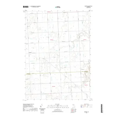
2019 Map of Roseburg
USGS Topo · Published 2019About this map
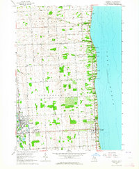
Roseburg serves as the central hub of this agricultural landscape in Sanilac County, where the topography is defined by an intricate network of waterways. Water management is central to the land's utility, evidenced by the numerous named channels like William Doan Drain and Lawson Drain that feed into larger systems such as Black Cr. These features indicate a history of land reclamation and drainage essential for the region's farming heritage.
Find a feature on this map
57 named features on this map. Tap any name to fly to it.
Don’t see what you’re looking for? This feature index may not catch every label — zoom into the map to look around manually.
Map Details
Editions of this 2019 Roseburg Map
This is the sole edition of this map. No revisions or reprints were ever made.
Other maps of this area

1954 · Flint
USGS Topo · 1:250,000

1958 · Flint
USGS Topo · 1:250,000
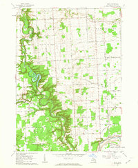
1961 · Ruby
USGS Topo · 1:24,000
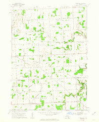
1961 · Roseburg
USGS Topo · 1:24,000
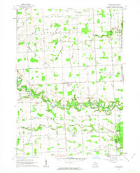
1961 · Avoca
USGS Topo · 1:24,000
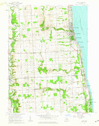
1961 · Jeddo
USGS Topo · 1:24,000
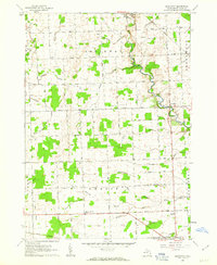
1961 · Brockway
USGS Topo · 1:24,000
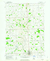
1961 · Yale
USGS Topo · 1:24,000
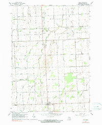
1963 · Peck
USGS Topo · 1:24,000
1963 · Croswell
USGS Topo · 1:24,000