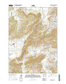
2017 Map of Roseburg West
USGS Topo · Published 2017About this map
The South Umpqua River snakes through this portion of Douglas County, defining the eastern boundary of a landscape shaped by both agriculture and timber history. In the valley bottoms, the Umpqua Log Pond and the proximity of Roseburg and Green reflect the region's industrial footprint, while the surrounding hills host more traditional rural settlements. Smaller communities like Melrose and Lookingglass are clearly mapped alongside local landmarks such as Napier Ranch Airport and the Jones Family Cem.
Find a feature on this map
162 named features on this map. Tap any name to fly to it.
Don’t see what you’re looking for? This feature index may not catch every label — zoom into the map to look around manually.
Map Details
Editions of this 2017 Roseburg West Map
This is the sole edition of this map. No revisions or reprints were ever made.
Other maps of this area

1897 · Roseburg
USGS Topo · 1:125,000

1900 · Roseburg
USGS Topo · 1:125,000

1928 · Sitkum
USGS Topo · 1:125,000

1954 · Sutherlin
USGS Topo · 1:62,500

1955 · Camas Valley
USGS Topo · 1:62,500

1955 · Tyee
USGS Topo · 1:62,500

1955 · Roseburg
USGS Topo · 1:62,500

1958 · Roseburg
USGS Topo · 1:250,000

1959 · Roseburg
USGS Topo · 1:250,000

1979 · Roseburg
USGS Topo · 1:100,000