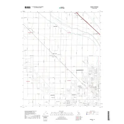
2018 Map of Rosedale
USGS Topo · Published 2018About this map
San Joaquin Valley agriculture and the northward expansion of Bakersfield define this landscape in the early 21st century. The map illustrates a highly organized grid of roads and irrigation infrastructure essential to the region's productivity, notably the Calloway Canal and the Friant-Kern Canal. Smaller communities and transit points like Shafter, Cawelo, and Lerdo are scattered across the northern reaches, while the southeastern corner shows the increasing density of residential developments in Rosedale and Central Valley. This survey captures the transition of traditional farmland into suburban neighborhoods, particularly evident near Hights Corner and Crome. Genealogists may find interest in the Shafter Cem located along Santa Fe Way, while the detailed street naming provides a clear record of local property divisions and development during this period of growth.
Find a feature on this map
81 named features on this map. Tap any name to fly to it.
Don’t see what you’re looking for? This feature index may not catch every label — zoom into the map to look around manually.
Map Details
Editions of this 2018 Rosedale Map
This is the sole edition of this map. No revisions or reprints were ever made.
Other maps of this area

1906 · Bakersfield
USGS Topo · 1:62,500

1910 · Buena Vista Lake
USGS Topo · 1:125,000

1912 · Buena Vista Lake
USGS Topo · 1:125,000

1929 · Stevens
USGS Topo · 1:31,680

1929 · Coles Levee
USGS Topo · 1:31,680

1930 · Wasco
USGS Topo · 1:31,680

1930 · Famoso
USGS Topo · 1:31,680

1930 · Rosedale
USGS Topo · 1:31,680

1930 · Oildale
USGS Topo · 1:31,680

1931 · Rio Bravo
USGS Topo · 1:31,680