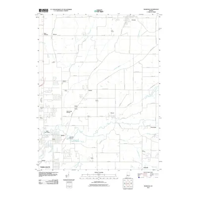
2010 Map of Rosedale
USGS Topo · Published 2010About this map
Otter Creek Junction and the surrounding townships north of Terra Haute show a landscape where drainage infrastructure and small settlements define the geography. The map traces the intricate water network including Swope Ditch and Cox Number One Ditch, which channel water across the agricultural and residential transition zones. Many family names and small locales are preserved through a high density of burial grounds, such as Rukes Cemetery, Stevenson Cemetery, and Moses Cemetery.
Find a feature on this map
83 named features on this map. Tap any name to fly to it.
Don’t see what you’re looking for? This feature index may not catch every label — zoom into the map to look around manually.
Map Details
Editions of this 2010 Rosedale Map
This is the sole edition of this map. No revisions or reprints were ever made.
Other maps of this area

1908 · Clay City
USGS Topo · 1:48,000

1910 · Clay City
USGS Topo · 1:62,500

1941 · Seelyville
USGS Topo · 1:24,000

1941 · Terre Haute
USGS Topo · 1:24,000

1948 · Terre Haute
USGS Topo · 1:24,000

1950 · Rosedale
USGS Topo · 1:24,000

1950 · Brazil West
USGS Topo · 1:24,000

1950 · New Goshen
USGS Topo · 1:24,000

1951 · Clinton
USGS Topo · 1:24,000

1951 · Mecca
USGS Topo · 1:24,000