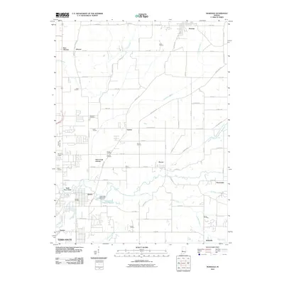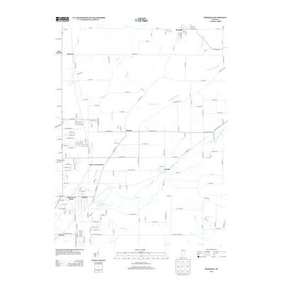
2022 Map of Rosedale
USGS Topo · Published 2022About this map
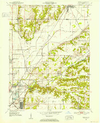
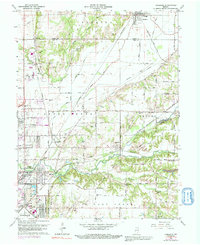
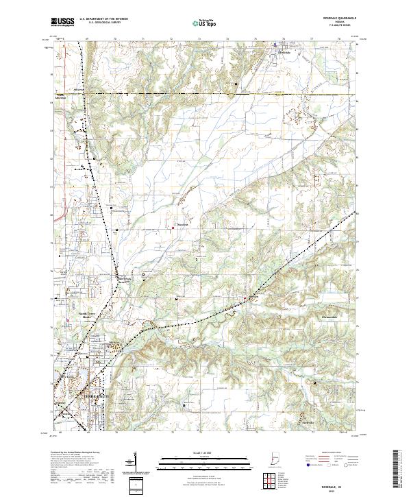
Rosedale stands at the northern edge of this map, marking the boundary where Parke and Vigo counties meet. The landscape is a network of engineered drainage and winding natural waterways, where Cox Number One Ditch and Cox Number Two Ditch divert water through the agricultural flats north of Ehrmandale. To the south, the terrain becomes more complex as it approaches the northern outskirts of Terre Haute, including the residential pockets of Terre Town, North Terre Haute, and Markles.
Find a feature on this map
108 named features on this map. Tap any name to fly to it.
Don’t see what you’re looking for? This feature index may not catch every label — zoom into the map to look around manually.
Map Details
Editions of this 2022 Rosedale Map
This is the sole edition of this map. No revisions or reprints were ever made.
Historical Maps of Terre Haute Through Time
7 maps found