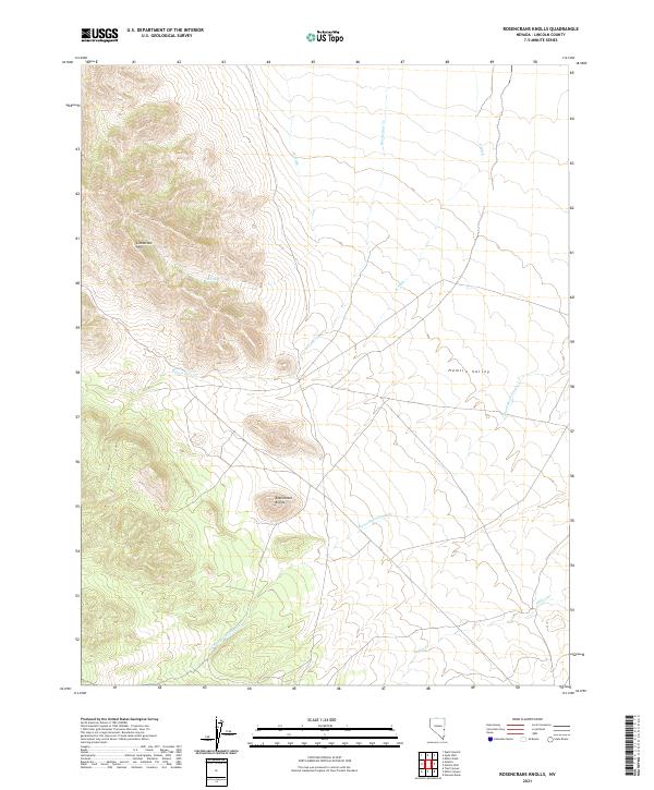
2021 Map of Rosencrans Knolls
USGS Topo · Published 2021About this map
Limestone Hills rise sharply along the western edge of this Nevada landscape, overlooking a series of watercourses and topographical breaks that define the local drainage patterns. The map focuses on the high-desert character of eastern Lincoln County, where the eponymous Rosencrans Knolls stand as a distinct landform above the surrounding valley floors. The presence of W Ditch and E Ditch alongside Rosencrans Cr suggests a history of water management and attempts to utilize the intermittent flows of the high basin for grazing or other local uses.
Find a feature on this map
12 named features on this map. Tap any name to fly to it.
Don’t see what you’re looking for? This feature index may not catch every label — zoom into the map to look around manually.
Map Details
Editions of this 2021 Rosencrans Knolls Map
This is the sole edition of this map. No revisions or reprints were ever made.
Other maps of this area

1956 · Lund
USGS Topo · 1:250,000

1960 · Lund
USGS Topo · 1:250,000

1972 · Gleason Basin
USGS Topo · 1:24,000

1972 · Rosencrans Knolls
USGS Topo · 1:24,000

1972 · Hamlin Well
USGS Topo · 1:24,000

1972 · Miller Wash
USGS Topo · 1:24,000

1972 · Hyde Well
USGS Topo · 1:24,000

1972 · Miller Canyon
USGS Topo · 1:24,000

1973 · Atlanta
USGS Topo · 1:24,000
1973 · Trail Canyon
USGS Topo · 1:24,000