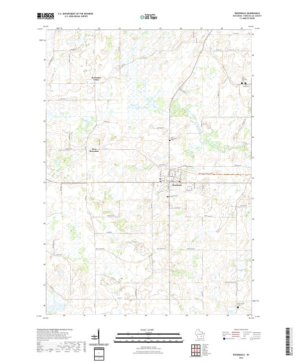
2022 Map of Rosendale
USGS Topo · Published 2022About this map
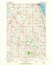
Rosendale serves as the central hub of this agricultural region in Fond du Lac County, positioned at the intersection of several key rural corridors. The township is characterized by a dispersed settlement pattern that includes Rosendale Center and West Rosendale, reflecting the long-standing importance of these small communities in the local farming economy. The landscape is drained by the West Branch Fond Du Lac River and its tributary, the W Br Fond Du Lac River, which meander through the central and eastern portions of the quadrangle. For those researching family history, numerous burial sites are mapped, including Rosendale Cem, North Rosendale Cem, Saint Marys Cem, and North Eldorado Cem. Modern recreation is represented by the Mascoutin Valley State Trl, which follows a straight path through the village and across the countryside, likely utilizing a former railroad corridor.
Find a feature on this map
62 named features on this map. Tap any name to fly to it.
Don’t see what you’re looking for? This feature index may not catch every label — zoom into the map to look around manually.
Map Details
Editions of this 2022 Rosendale Map
This is the sole edition of this map. No revisions or reprints were ever made.
Historical Maps of Lamartine Through Time
7 maps found