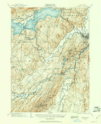
1901 Map of Rosendale
USGS Topo · Published 1961About this map
Ashokan Reservoir dominates the northern landscape of this Ulster County region, reflecting the significant civil engineering projects undertaken to secure the New York City water supply. Below the massive impoundment, the Esopus Creek and Rondout Creek valleys reveal a dense network of early 20th-century settlements and infrastructure. The industrial character of the era is evident in the cluster of cement-producing hamlets near Whiteport and Creeklocks, alongside the intricate web of competing rail lines like the Ulster and Delaware and the Wallkill Valley.
Find a feature on this map
99 named features on this map. Tap any name to fly to it.
Don’t see what you’re looking for? This feature index may not catch every label — zoom into the map to look around manually.
Map Details
Editions of this 1901 Rosendale Map
This is the sole edition of this map. No revisions or reprints were ever made.
Other maps of this area
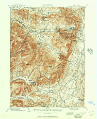
1892 · Kaaterskill
USGS Topo · 1:62,500
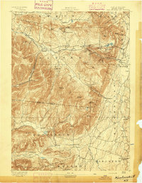
1893 · Kaaterskill
USGS Topo · 1:62,500
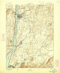
1893 · Poughkeepsie
USGS Topo · 1:62,500
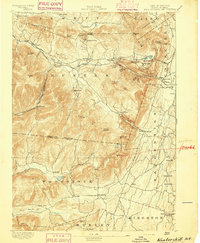
1894 · Kaaterskill
USGS Topo · 1:62,500
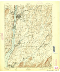
1894 · Poughkeepsie
USGS Topo · 1:62,500
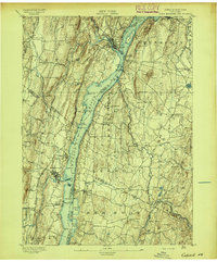
1895 · Catskill
USGS Topo · 1:62,500
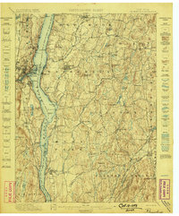
1898 · Rhinebeck
USGS Topo · 1:62,500
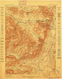
1899 · Kaaterskill
USGS Topo · 1:62,500
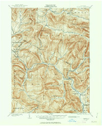
1900 · Phoenicia
USGS Topo · 1:62,500
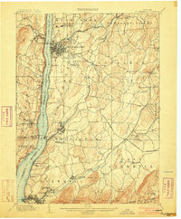
1903 · Poughkeepsie
USGS Topo · 1:62,500