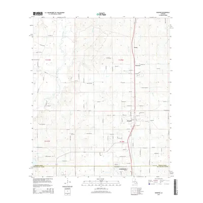
2015 Map of Rosepine
USGS Topo · Published 2015About this map
Rosepine sits at the heart of this landscape, marking the transition between Vernon Parish and Beauregard Parish. This 2015 study traces the rural development along the Highway 171 corridor, where the settlements of Neame and Pinewood are situated north of the larger Deridder area. The terrain is defined by a dense network of tributaries including Bayou Anacoco, Flat Creek, and Cypress Creek, which have influenced the placement of local cemeteries and parish roads. Genealogists will find several burial grounds documented, including the Rosepine Cemetery and the more remote Miller Cemetery. The map captures the persistence of smaller rural communities and the extensive secondary road network, such as Planer Mill Road and Cypress Church Road, which weave through the timberlands and creek bottoms of western Louisiana.
Find a feature on this map
104 named features on this map. Tap any name to fly to it.
Don’t see what you’re looking for? This feature index may not catch every label — zoom into the map to look around manually.
Map Details
Editions of this 2015 Rosepine Map
This is the sole edition of this map. No revisions or reprints were ever made.
Other maps of this area

1941 · Leesville
USGS Topo · 1:62,500

1941 · Slagle
USGS Topo · 1:62,500

1943 · Leesville
USGS Topo · 1:62,500

1944 · Slagle
USGS Topo · 1:62,500

1946 · Leesville
USGS Topo · 1:62,500

1947 · Pujo
USGS Topo · 1:31,680

1947 · DeRidder
USGS Topo · 1:31,680

1947 · Rosepine
USGS Topo · 1:31,680

1947 · Knight
USGS Topo · 1:31,680

1947 · Ikes
USGS Topo · 1:31,680