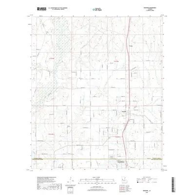
2018 Map of Rosepine
USGS Topo · Published 2018About this map
Rosepine and the northern reaches of DeRidder anchor this landscape along the border of Vernon Parish and Beauregard Parish. The terrain is defined by a dense network of tributaries, including Clear Creek, Flat Creek, and Cypress Creek, which carve through the piney woods of west-central Louisiana. These waterways are mirrored by a intricate web of parish roads and family-named lanes like Eugene Burns Rd and Thelton Teston Ln, reflecting a long history of rural settlement and timber-driven development.
Find a feature on this map
103 named features on this map. Tap any name to fly to it.
Don’t see what you’re looking for? This feature index may not catch every label — zoom into the map to look around manually.
Map Details
Editions of this 2018 Rosepine Map
This is the sole edition of this map. No revisions or reprints were ever made.
Other maps of this area

1941 · Leesville
USGS Topo · 1:62,500

1941 · Slagle
USGS Topo · 1:62,500

1943 · Leesville
USGS Topo · 1:62,500

1944 · Slagle
USGS Topo · 1:62,500

1946 · Leesville
USGS Topo · 1:62,500

1947 · Pujo
USGS Topo · 1:31,680

1947 · DeRidder
USGS Topo · 1:31,680

1947 · Rosepine
USGS Topo · 1:31,680

1947 · Knight
USGS Topo · 1:31,680

1947 · Ikes
USGS Topo · 1:31,680