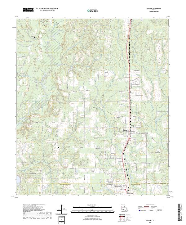
2024 Map of Rosepine
USGS Topo · Published 2024About this map
Rosepine and the northern reaches of DeRidder anchor this 2024 landscape in the pine woods of western Louisiana. The survey area straddles the Vernon Parish and Beauregard Parish line, a region characterized by a dense network of watercourses including Bayou Anacoco, Big Branch, and Cypress Creek. For those researching family history, several small burial grounds are documented, notably the Lewis New Cypress Cem west of town and the Miller Cem further north. The settlement of Neame appears near the northern boundary, while the transition from forest to developed town lots is evident as the terrain moves south toward the parish line. Local transit is defined by a grid of numbered parish roads, such as Parish Rd 724 and Parish Rd 713, which connect scattered homesteads to the primary highway corridor.
Find a feature on this map
106 named features on this map. Tap any name to fly to it.
Don’t see what you’re looking for? This feature index may not catch every label — zoom into the map to look around manually.
Map Details
Editions of this 2024 Rosepine Map
This is the sole edition of this map. No revisions or reprints were ever made.
Other maps of this area

1941 · Leesville
USGS Topo · 1:62,500

1941 · Slagle
USGS Topo · 1:62,500

1943 · Leesville
USGS Topo · 1:62,500

1944 · Slagle
USGS Topo · 1:62,500

1946 · Leesville
USGS Topo · 1:62,500

1947 · Pujo
USGS Topo · 1:31,680

1947 · DeRidder
USGS Topo · 1:31,680

1947 · Rosepine
USGS Topo · 1:31,680

1947 · Knight
USGS Topo · 1:31,680

1947 · Ikes
USGS Topo · 1:31,680