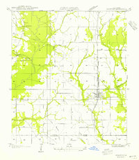
1954 Map of Rosepine
USGS Topo · Published 1954About this map
Rosepine sits at the heart of this mid-century survey, positioned along the Kansas City Southern line and Highway No 171. The landscape is defined by the heavy footprint of the timber industry, marked by a dense network of transit including the Big Railroad, an Old Logging Railroad, and various unnamed grades. These routes crisscross the terrain between Bayou Anacoco and Flat Branch, illustrating the intensive extraction of the region's pine forests before the era of modern reforestation.
Find a feature on this map
22 named features on this map. Tap any name to fly to it.
Don’t see what you’re looking for? This feature index may not catch every label — zoom into the map to look around manually.
Map Details
Editions of this 1954 Rosepine Map
This is the sole edition of this map. No revisions or reprints were ever made.
Other maps of this area

1941 · Leesville
USGS Topo · 1:62,500

1941 · Slagle
USGS Topo · 1:62,500

1943 · Leesville
USGS Topo · 1:62,500

1944 · Slagle
USGS Topo · 1:62,500

1946 · Leesville
USGS Topo · 1:62,500

1947 · Pujo
USGS Topo · 1:31,680

1947 · DeRidder
USGS Topo · 1:31,680

1947 · Rosepine
USGS Topo · 1:31,680

1947 · Knight
USGS Topo · 1:31,680

1947 · Ikes
USGS Topo · 1:31,680