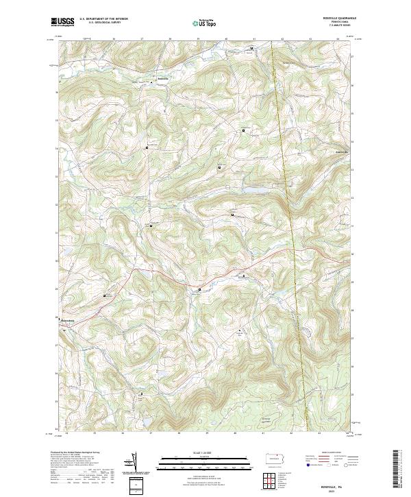
2023 Map of Roseville
USGS Topo · Published 2023About this map
The northern edge of Armenia Mountain overlooks a landscape defined by small valley settlements and a high density of family burial grounds. Centered on Roseville, the terrain transitions from the heights of Benson Knob down toward the winding course of Mill Creek. The settlement pattern follows the drainages of Elk Run and Corey Creek, where traditional farmstead infrastructure remains visible through a network of rural roads such as Pazzaglia Rd and Sopertown Rd.
Find a feature on this map
74 named features on this map. Tap any name to fly to it.
Don’t see what you’re looking for? This feature index may not catch every label — zoom into the map to look around manually.
Map Details
Editions of this 2023 Roseville Map
This is the sole edition of this map. No revisions or reprints were ever made.
Other maps of this area

1900 · Tioga
USGS Topo · 1:62,500

1902 · Tioga
USGS Topo · 1:62,500

1925 · Blossburg
USGS Topo · 1:62,500

1927 · Blossburg
USGS Topo · 1:62,500

1931 · Troy
USGS Topo · 1:48,000

1938 · Troy
USGS Topo · 1:62,500

1942 · Canton
USGS Topo · 1:62,500

1944 · Blossburg
USGS Topo · 1:62,500

1944 · Canton
USGS Topo · 1:62,500

1953 · Roseville
USGS Topo · 1:24,000