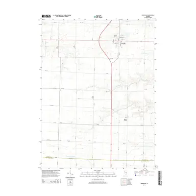
2015 Map of Roseville
USGS Topo · Published 2015About this map
Roseville sits at the northern end of this prairie landscape, where the grid of agricultural roads meets the drainage systems of Ellison Cr and Town Br. The map reveals a deeply rooted rural community, evidenced by the numerous burial grounds marking the landscape, such as Salem Cem, Asbury Cem, and Point Pleasant Cem. These sites, alongside Stice Cem further south, provide critical landmarks for those researching the early families of the region.
Find a feature on this map
33 named features on this map. Tap any name to fly to it.
Don’t see what you’re looking for? This feature index may not catch every label — zoom into the map to look around manually.
Map Details
Editions of this 2015 Roseville Map
This is the sole edition of this map. No revisions or reprints were ever made.
Other maps of this area

1916 · Good Hope
USGS Topo · 1:62,500

1918 · La Harpe
USGS Topo · 1:62,500

1918 · Good Hope
USGS Topo · 1:62,500

1921 · Monmouth
USGS Topo · 1:62,500

1923 · Monmouth
USGS Topo · 1:62,500

1934 · Oquawka
USGS Topo · 1:48,000

1940 · Oquawka
USGS Topo · 1:62,500

1958 · Burlington
USGS Topo · 1:250,000

1961 · Burlington
USGS Topo · 1:250,000

1963 · Burlington
USGS Topo · 1:250,000