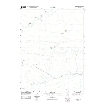
2012 Map of Rosewood
USGS Topo · Published 2012About this map
Rosewood sits at the heart of this Tehama County landscape, where the local road network follows the historic path of Old Highway 136. The geography is defined by a dense system of seasonal drainages and named ravines, many bearing the surnames of early settlers and miners. The northern portion of the map is dominated by the Middle Fork Cottonwood Cr, while the southern reaches are drained by Little Crane Cr and Big Crane Cr. This detailed 2012 survey illustrates the rugged drainage patterns of the region, specifically the many "forks" of local gulches. Genealogists and local historians can trace family-named landmarks like Trueblood Gulch, Hightower Gulch, and Baker Gulch. The map also preserves the distinct nomenclature of the area's mining and ranching history through features like North Fork China Gulch and South Fork Devils Gulch.
Find a feature on this map
20 named features on this map. Tap any name to fly to it.
Don’t see what you’re looking for? This feature index may not catch every label — zoom into the map to look around manually.
Map Details
Editions of this 2012 Rosewood Map
This is the sole edition of this map. No revisions or reprints were ever made.
Other maps of this area

1890 · Red Bluff
USGS Topo · 1:250,000

1894 · Red Bluff
USGS Topo · 1:250,000

1932 · Olinda
USGS Topo · 1:31,680

1935 · Olinda
USGS Topo · 1:31,680

1947 · Anderson
USGS Topo · 1:62,500

1948 · Anderson
USGS Topo · 1:62,500

1949 · Colyear Springs
USGS Topo · 1:62,500

1952 · Blossom
USGS Topo · 1:24,000

1952 · Ono
USGS Topo · 1:62,500

1952 · Red Bank
USGS Topo · 1:62,500