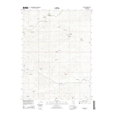
2015 Map of Rosewood
USGS Topo · Published 2015About this map
Rosewood sits along Beegum Rd in this northern California landscape where the Shasta Co Tehama Co line marks the northern boundary. The terrain is defined by an intricate network of drainages and gulches named for early settlers and local landmarks, including Trueblood Gulch, Baker Gulch, and Meadow Gulch. These seasonal watercourses feed into larger systems like Middle Fork Cottonwood Cr and Little Crane Cr.
Find a feature on this map
35 named features on this map. Tap any name to fly to it.
Don’t see what you’re looking for? This feature index may not catch every label — zoom into the map to look around manually.
Map Details
Editions of this 2015 Rosewood Map
This is the sole edition of this map. No revisions or reprints were ever made.
Other maps of this area

1890 · Red Bluff
USGS Topo · 1:250,000

1894 · Red Bluff
USGS Topo · 1:250,000

1932 · Olinda
USGS Topo · 1:31,680

1935 · Olinda
USGS Topo · 1:31,680

1947 · Anderson
USGS Topo · 1:62,500

1948 · Anderson
USGS Topo · 1:62,500

1949 · Colyear Springs
USGS Topo · 1:62,500

1952 · Blossom
USGS Topo · 1:24,000

1952 · Ono
USGS Topo · 1:62,500

1952 · Red Bank
USGS Topo · 1:62,500