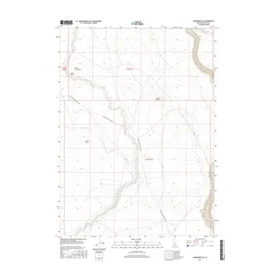
2017 Map of Roseworth SE
USGS Topo · Published 2017About this map
Salmon Falls Cr carves a deep canyon along the eastern edge of this Twin Falls County landscape, defining the local drainage and topography. To the west, the arid high desert is marked by prominent volcanic features like Secret Cabin Butte and Emery Butte, which serve as natural landmarks for the high plateau. The map details a complex system of water management essential to the region's agricultural history, including the Cedar Mesa Canal and the meandering path of Cedar Cr. Small geographic depressions such as Antelope Pocket and seasonal drainages like Cedar Draw illustrate the subtle relief of the Snake River Plain. The primary artery through this territory is the Antelope Spring Roseworth Rd, providing a sense of the modern transportation network connecting these remote high-desert landmarks.
Find a feature on this map
11 named features on this map. Tap any name to fly to it.
Don’t see what you’re looking for? This feature index may not catch every label — zoom into the map to look around manually.
Map Details
Editions of this 2017 Roseworth SE Map
This is the sole edition of this map. No revisions or reprints were ever made.
Other maps of this area

1955 · Twin Falls
USGS Topo · 1:250,000

1958 · Twin Falls
USGS Topo · 1:250,000

1964 · Roseworth
USGS Topo · 1:24,000

1965 · Hollister SW
USGS Topo · 1:24,000

1965 · Roseworth SE
USGS Topo · 1:24,000

1965 · Roseworth NE
USGS Topo · 1:24,000

1965 · Berger Butte
USGS Topo · 1:24,000

1965 · Tuanna Butte
USGS Topo · 1:24,000

1977 · Cedar Creek Reservoir
USGS Topo · 1:24,000

1977 · Salmon Butte
USGS Topo · 1:24,000