2021 Map of Roslyn
USGS Topo · Published 2021About this map
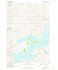
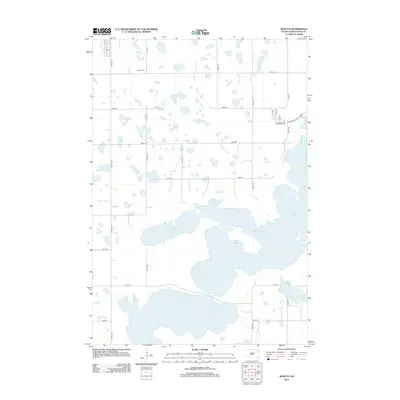
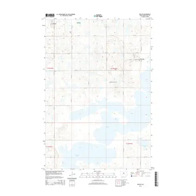
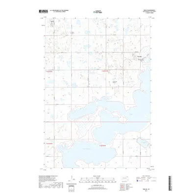
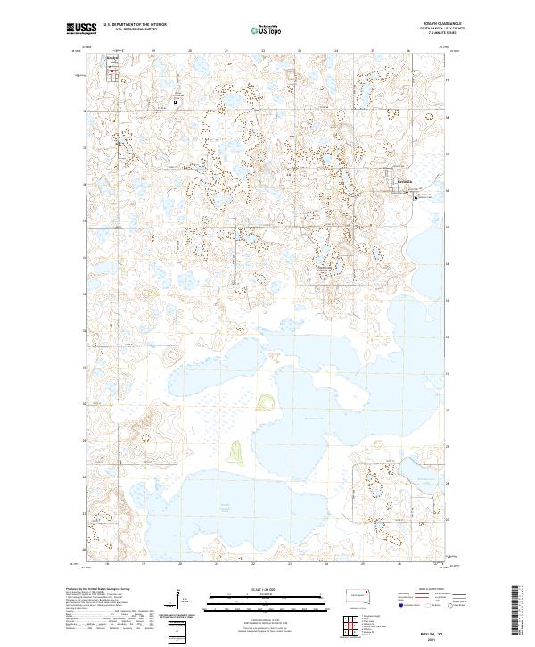
Roslyn and Grenville anchor this northern Day County landscape, situated within the distinctive glacial upland of the Coteau des Prairies. The region is defined by a complex network of wetlands and prominent water bodies, most notably Waubay Lake and South Waubay Lake, which dominate the southern half of the sheet. The local road system, including Co Rd 66 and Co Rd 5, connects these small lakeside communities to the surrounding prairie. For genealogists and local historians, the map identifies key community landmarks such as the Roslyn Lutheran Cem and Saint Joseph Catholic Cem near Grenville. The terrain's many small potholes and larger basins like Minnewasta Lake illustrate the typical prairie pothole topography that has shaped the agricultural and settlement patterns of this part of South Dakota for generations.
Find a feature on this map
33 named features on this map. Tap any name to fly to it.
Don’t see what you’re looking for? This feature index may not catch every label — zoom into the map to look around manually.
Map Details
Editions of this 2021 Roslyn Map
This is the sole edition of this map. No revisions or reprints were ever made.
Historical Maps of Roslyn Through Time
5 maps found