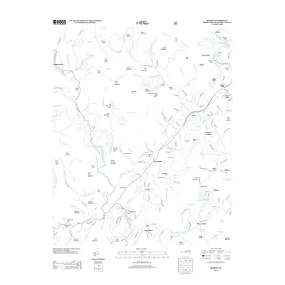
2013 Map of Rosman
USGS Topo · Published 2013About this map
Rosman serves as the focal point of this study, situated at the confluence of the French Broad River's headwater forks. The landscape transitions from the developed corridors along Highway 64 to the dense ridges of the Pisgah National Forest, where Stone Mountain and Tarkiln Mountain dominate the northern skyline. This 2013 survey illustrates a region defined by recreational and educational enclaves, including the Brevard Music Center and Camp Illahee, which have long utilized the area's cool elevations and proximity to water. Settlement patterns remain clustered in valleys at Cherryfield and Calvert, while several small private lakes such as Lake Wanteska and Rainbow Lake indicate more recent residential development. The map also documents a legacy of mountain agriculture and forestry, seen in the numerous coves like Gads Cove and naming conventions such as Sawmill Cr.
Find a feature on this map
220 named features on this map. Tap any name to fly to it.
Don’t see what you’re looking for? This feature index may not catch every label — zoom into the map to look around manually.
Map Details
Editions of this 2013 Rosman Map
This is the sole edition of this map. No revisions or reprints were ever made.
Other maps of this area

1905 · Pisgah
USGS Topo · 1:125,000

1906 · Pisgah
USGS Topo · 1:125,000

1935 · Brevard
USGS Topo · 1:24,000

1935 · Eastatoe Gap
USGS Topo · 1:24,000

1935 · Sam Knob
USGS Topo · 1:24,000

1935 · Rosman
USGS Topo · 1:24,000

1935 · Lake Toxaway
USGS Topo · 1:24,000

1935 · Reid
USGS Topo · 1:24,000

1935 · Table Rock
USGS Topo · 1:24,000

1935 · Shining Rock
USGS Topo · 1:24,000