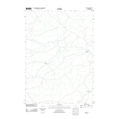
2012 Map of Ross
USGS Topo · Published 2012About this map
Ross sits at the convergence of several drainages in Converse County, where the network of the Wind Cr system shapes the high plains landscape. This 2012 survey illustrates a region defined by extensive ranching operations and natural watercourses, most notably the winding path of Antelope Cr to the south. The area is characterized by a complex drainage pattern including S Fork Wind Cr and N Fork Wind Cr, which are fed by topographic features like Finley Draw and Avery Draw. The presence of the Spearhead Ranch in the southeast corner reflects the enduring agricultural and ranching heritage of this part of Wyoming. Transportation is centered on the namesake Ross Rd, which provides the primary access through this sparsely populated territory, connecting the small settlement to the broader prairie beyond.
Find a feature on this map
10 named features on this map. Tap any name to fly to it.
Don’t see what you’re looking for? This feature index may not catch every label — zoom into the map to look around manually.
Map Details
Editions of this 2012 Ross Map
This is the sole edition of this map. No revisions or reprints were ever made.
Other maps of this area

1954 · Artesian Draw
USGS Topo · 1:24,000

1954 · Pine Tree
USGS Topo · 1:24,000

1954 · Taylor Ranch
USGS Topo · 1:24,000

1955 · Newcastle
USGS Topo · 1:250,000

1955 · Arminto
USGS Topo · 1:250,000

1958 · Arminto
USGS Topo · 1:250,000

1958 · Newcastle
USGS Topo · 1:250,000

1959 · Edgerton
USGS Topo · 1:62,500

1960 · Ross
USGS Topo · 1:62,500

1962 · Arminto
USGS Topo · 1:250,000