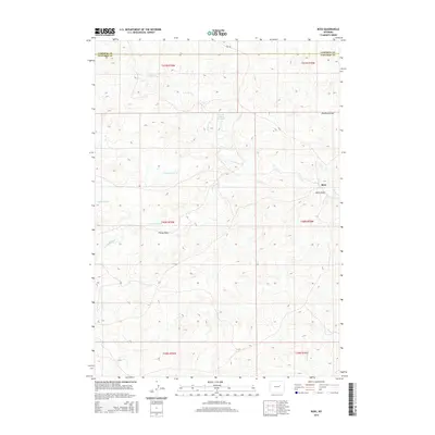
2015 Map of Ross
USGS Topo · Published 2015About this map
Ross sits at the eastern edge of this Wyoming landscape, where the high plains are carved by an intricate network of seasonal drainages. The area is defined by its watershed patterns, primarily the convergence of the N Fork Wind Cr, S Fork Wind Cr, and the main stem of Wind Cr. This network of draws and prongs, including Red Rock Draw and Fink Prong, highlights the natural water management essential to this arid environment, evidenced by the presence of the Wagon Hound Reservoir and Dull Reservoir.
Find a feature on this map
20 named features on this map. Tap any name to fly to it.
Don’t see what you’re looking for? This feature index may not catch every label — zoom into the map to look around manually.
Map Details
Editions of this 2015 Ross Map
This is the sole edition of this map. No revisions or reprints were ever made.
Other maps of this area

1954 · Artesian Draw
USGS Topo · 1:24,000

1954 · Pine Tree
USGS Topo · 1:24,000

1954 · Taylor Ranch
USGS Topo · 1:24,000

1955 · Newcastle
USGS Topo · 1:250,000

1955 · Arminto
USGS Topo · 1:250,000

1958 · Arminto
USGS Topo · 1:250,000

1958 · Newcastle
USGS Topo · 1:250,000

1959 · Edgerton
USGS Topo · 1:62,500

1960 · Ross
USGS Topo · 1:62,500

1962 · Arminto
USGS Topo · 1:250,000