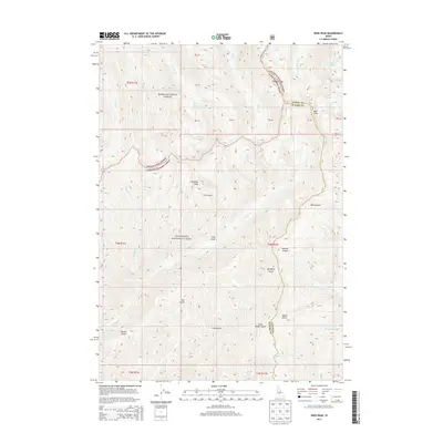
2013 Map of Ross Peak
USGS Topo · Published 2013About this map
Boise National Forest and Sawtooth National Forest converge in this high-elevation Idaho wilderness, where the boundary between Camas and Elmore Counties follows the drainage divide. The landscape is defined by its glaciated basins and steep drainages, including the prominent heights of Ross Peak and Gunsight Peak. Water is a central feature of the terrain, with small alpine basins holding the Bass Lakes, Goat Lake, and Grouse Lakes.
Find a feature on this map
46 named features on this map. Tap any name to fly to it.
Don’t see what you’re looking for? This feature index may not catch every label — zoom into the map to look around manually.
Map Details
Editions of this 2013 Ross Peak Map
This is the sole edition of this map. No revisions or reprints were ever made.
Other maps of this area

1894 · Rocky Bar
USGS Topo · 1:125,000

1900 · Sawtooth
USGS Topo · 1:125,000

1955 · Hailey
USGS Topo · 1:250,000

1959 · Hailey
USGS Topo · 1:250,000

1962 · Hailey
USGS Topo · 1:250,000

1964 · Ross Peak
USGS Topo · 1:24,000

1964 · Cayuse Point
USGS Topo · 1:24,000
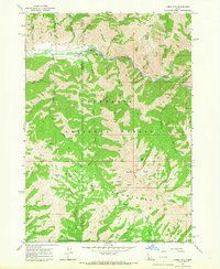
1964 · Jumbo Mtn
USGS Topo · 1:24,000
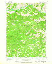
1964 · Grouse Butte
USGS Topo · 1:24,000

1964 · Marshall Peak
USGS Topo · 1:24,000