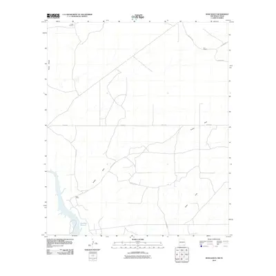
2010 Map of Ross Ranch
USGS Topo · Published 2010About this map
Ross Ranch sits in an arid landscape defined by drainage patterns and essential water infrastructure on the border of New Mexico and Texas. The terrain is marked by the distinct Rustler Breaks to the west, while the southern edge of the map features the northern reach of Red Bluff Reservoir. Resource management is evident through the placement of Pickett Windmill and Sun Windmill, which support ranching operations in this sparsely populated area.
Find a feature on this map
13 named features on this map. Tap any name to fly to it.
Don’t see what you’re looking for? This feature index may not catch every label — zoom into the map to look around manually.
Map Details
Editions of this 2010 Ross Ranch Map
This is the sole edition of this map. No revisions or reprints were ever made.
Other maps of this area

1925 · Orla 2-b
USGS Topo · 1:48,000

1931 · Orla
USGS Topo · 1:62,500

1945 · Malaga
USGS Topo · 1:62,500

1946 · Malaga
USGS Topo · 1:62,500

1954 · Carlsbad
USGS Topo · 1:250,000

1954 · Hobbs
USGS Topo · 1:250,000

1954 · Van Horn
USGS Topo · 1:250,000

1954 · Pecos
USGS Topo · 1:250,000

1957 · Pecos
USGS Topo · 1:250,000

1958 · Van Horn
USGS Topo · 1:250,000