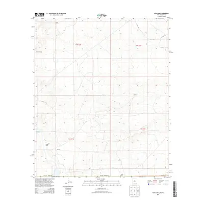
2013 Map of Ross Ranch
USGS Topo · Published 2013About this map
Ross Ranch serves as the namesake for this corner of Eddy County, where the high desert terrain meets the northern reaches of the Red Bluff Reservoir. The landscape is characterized by its drainage patterns and water management infrastructure, including the seasonal watercourses of Brushy Draw and Tucker Draw. These natural features are interspersed with historical ranching markers such as Pickett Windmill and Sun Windmill, which speak to the area's agricultural endurance. To the west, the escarpment of the Rustler Breaks creates a distinct topographical shift. A network of service roads, including the prominently labeled Pipeline Rd, crisscrosses the township lines of t25s r29e, revealing the intersection of traditional land use and the modern energy industry in the New Mexico backcountry.
Find a feature on this map
19 named features on this map. Tap any name to fly to it.
Don’t see what you’re looking for? This feature index may not catch every label — zoom into the map to look around manually.
Map Details
Editions of this 2013 Ross Ranch Map
This is the sole edition of this map. No revisions or reprints were ever made.
Other maps of this area

1925 · Orla 2-b
USGS Topo · 1:48,000

1931 · Orla
USGS Topo · 1:62,500

1945 · Malaga
USGS Topo · 1:62,500

1946 · Malaga
USGS Topo · 1:62,500

1954 · Carlsbad
USGS Topo · 1:250,000

1954 · Hobbs
USGS Topo · 1:250,000

1954 · Van Horn
USGS Topo · 1:250,000

1954 · Pecos
USGS Topo · 1:250,000

1957 · Pecos
USGS Topo · 1:250,000

1958 · Van Horn
USGS Topo · 1:250,000