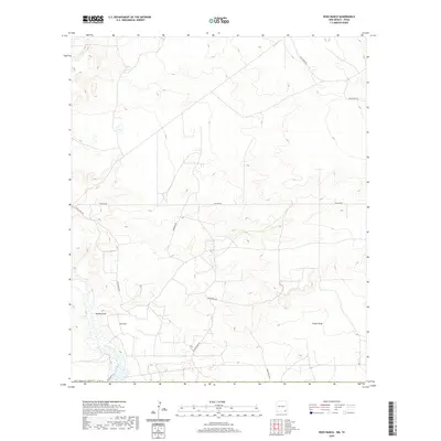
2020 Map of Ross Ranch
USGS Topo · Published 2020About this map
Ross Ranch anchors this arid section of Eddy County, where the landscape is defined by the intermittent watercourses of Brushy Draw and Tucker Draw. This modern survey reveals a specialized infrastructure designed for resource extraction and land management, with a dense network of utility corridors and rural access routes. The naming conventions for local roads, such as Rock Dove Rd, Hedgehog Rd, and Tarbrush Rd, reflect the local flora and fauna of the Chihuahuan Desert. Significant logistical features like Pipeline Rd cross the township lines, illustrating the region's role in energy transportation. The topographic detail provided by the U.S. Geological Survey highlights the subtle shifts in elevation across this ranching and industrial corridor near the Texas border.
Find a feature on this map
14 named features on this map. Tap any name to fly to it.
Don’t see what you’re looking for? This feature index may not catch every label — zoom into the map to look around manually.
Map Details
Editions of this 2020 Ross Ranch Map
This is the sole edition of this map. No revisions or reprints were ever made.
Other maps of this area

1925 · Orla 2-b
USGS Topo · 1:48,000

1931 · Orla
USGS Topo · 1:62,500

1945 · Malaga
USGS Topo · 1:62,500

1946 · Malaga
USGS Topo · 1:62,500

1954 · Carlsbad
USGS Topo · 1:250,000

1954 · Hobbs
USGS Topo · 1:250,000

1954 · Van Horn
USGS Topo · 1:250,000

1954 · Pecos
USGS Topo · 1:250,000

1957 · Pecos
USGS Topo · 1:250,000

1958 · Van Horn
USGS Topo · 1:250,000