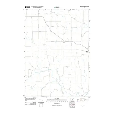
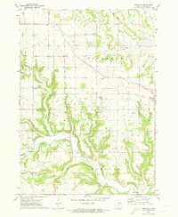
2010 Map of Rossville
USGS Topo · Published 2010About this map
Rossville and the nearby Dundee Plot serve as the primary hubs for this section of Allamakee County, where the landscape is defined by the deep incisions of the Yellow River and its numerous tributaries. The area's history is preserved in several burial grounds, including Ebenezer Cemetery and Smithfield Cemetery, often situated on the higher ground between the winding paths of Paint Creek and Bear Creek. The terrain reveals a complex network of springs and streams, such as Penny Springs and Norfolk Creek, which have influenced the local road system and settlement patterns. Tracing the courses of Williams Creek and Teeple Creek through the rural sections illustrates how the natural hydrology dictated the layout of farms and country roads like Breezy Corners Rd and Red School Rd in the early 21st century.
Find a feature on this map
45 named features on this map. Tap any name to fly to it.
Don’t see what you’re looking for? This feature index may not catch every label — zoom into the map to look around manually.
Map Details
Editions of this 2010 Rossville Map
This is the sole edition of this map. No revisions or reprints were ever made.
Other maps of this area

1903 · Waukon
USGS Topo · 1:125,000

1906 · Decorah
USGS Topo · 1:125,000

1958 · La Crosse
USGS Topo · 1:250,000

1961 · La Crosse
USGS Topo · 1:250,000

1965 · La Crosse
USGS Topo · 1:250,000
1968 · Church
USGS Topo · 1:24,000

1968 · Waukon
USGS Topo · 1:24,000
1971 · Postville
USGS Topo · 1:24,000
1971 · Waterville
USGS Topo · 1:24,000
1971 · Rossville
USGS Topo · 1:24,000