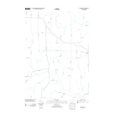
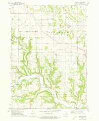
2013 Map of Rossville
USGS Topo · Published 2013About this map
Rossville stands as a primary point of settlement in this rural corner of Allamakee County, where the driftless-style topography is carved by a dense network of waterways including the Yellow River and the winding Paint Cr. The landscape is defined by its ridge-top roads and deep hollows, notably seen in the path of Bear Cr and Penny Springs. This 2011-2012 era survey reflects the persistence of long-established land divisions and local transportation routes. Historic transit and naming patterns are visible in labels such as Breezy Corners Rd and Red School Rd, the latter hinting at the location of former rural educational sites. The crossing at Red Bridge over the Yellow River marks a significant local landmark in the southern portion of the quadrangle, illustrating the importance of river crossings in connecting these dispersed agricultural communities.
Find a feature on this map
50 named features on this map. Tap any name to fly to it.
Don’t see what you’re looking for? This feature index may not catch every label — zoom into the map to look around manually.
Map Details
Editions of this 2013 Rossville Map
This is the sole edition of this map. No revisions or reprints were ever made.
Other maps of this area

1903 · Waukon
USGS Topo · 1:125,000

1906 · Decorah
USGS Topo · 1:125,000

1958 · La Crosse
USGS Topo · 1:250,000

1961 · La Crosse
USGS Topo · 1:250,000

1965 · La Crosse
USGS Topo · 1:250,000
1968 · Church
USGS Topo · 1:24,000

1968 · Waukon
USGS Topo · 1:24,000
1971 · Postville
USGS Topo · 1:24,000
1971 · Waterville
USGS Topo · 1:24,000
1971 · Rossville
USGS Topo · 1:24,000