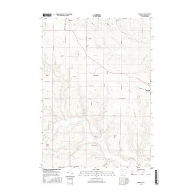
2015 Map of Rossville
USGS Topo · Published 2015About this map
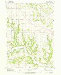
Rossville and the southeastern edge of Waukon anchor this study of the rolling Allamakee County countryside. The landscape is defined by the winding course of the Yellow River, which is joined by tributaries like Penny Springs, Williams Cr, and Bear Cr. This network of waterways carved the drainage patterns that dictated early road placement and land use, visible in the way routes like Rossville Rd and Old Rossville Dr navigate the terrain.
Find a feature on this map
60 named features on this map. Tap any name to fly to it.
Don’t see what you’re looking for? This feature index may not catch every label — zoom into the map to look around manually.
Map Details
Editions of this 2015 Rossville Map
This is the sole edition of this map. No revisions or reprints were ever made.
Other maps of this area

1903 · Waukon
USGS Topo · 1:125,000

1906 · Decorah
USGS Topo · 1:125,000

1958 · La Crosse
USGS Topo · 1:250,000

1961 · La Crosse
USGS Topo · 1:250,000

1965 · La Crosse
USGS Topo · 1:250,000
1968 · Church
USGS Topo · 1:24,000

1968 · Waukon
USGS Topo · 1:24,000
1971 · Postville
USGS Topo · 1:24,000
1971 · Waterville
USGS Topo · 1:24,000
1971 · Rossville
USGS Topo · 1:24,000