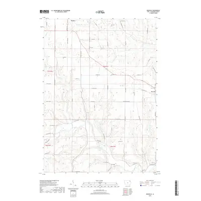
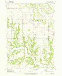
2018 Map of Rossville
USGS Topo · Published 2018About this map
The Yellow River cuts a deep, winding course through the southeastern corner of this Allamakee County landscape, joined by tributaries like Williams Creek and Bear Creek. The terrain is characterized by intricate drainage patterns and prominent ridges such as Sherman Ridge, with various hollows like Bear Hollow and Peterson Hollow marking the topography.
Find a feature on this map
96 named features on this map. Tap any name to fly to it.
Don’t see what you’re looking for? This feature index may not catch every label — zoom into the map to look around manually.
Map Details
Editions of this 2018 Rossville Map
This is the sole edition of this map. No revisions or reprints were ever made.
Other maps of this area

1903 · Waukon
USGS Topo · 1:125,000

1906 · Decorah
USGS Topo · 1:125,000

1958 · La Crosse
USGS Topo · 1:250,000

1961 · La Crosse
USGS Topo · 1:250,000

1965 · La Crosse
USGS Topo · 1:250,000
1968 · Church
USGS Topo · 1:24,000

1968 · Waukon
USGS Topo · 1:24,000
1971 · Postville
USGS Topo · 1:24,000
1971 · Waterville
USGS Topo · 1:24,000
1971 · Rossville
USGS Topo · 1:24,000