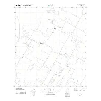
2010 Map of Rossville
USGS Topo · Published 2010About this map
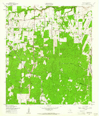
Atascosa River winds through this South Texas landscape, anchoring a network of rural communities including Rossville, Anchorage, Iuka, and Amphion. The settlement pattern is defined by family-named roads and an exceptional density of small burial grounds that reflect the deep-rooted genealogical history of Atascosa County. Researchers can identify the locations of numerous historic plots such as Brite Cemetery, Garcia Cemetery, and Alvarado Cemetery.
Find a feature on this map
62 named features on this map. Tap any name to fly to it.
Don’t see what you’re looking for? This feature index may not catch every label — zoom into the map to look around manually.
Map Details
Editions of this 2010 Rossville Map
This is the sole edition of this map. No revisions or reprints were ever made.
Other maps of this area
1934 · Schattel
USGS Topo · 1:62,500
1942 · Natalia
USGS Topo · 1:62,500
1953 · Crystal City
USGS Topo · 1:250,000

1954 · San Antonio
USGS Topo · 1:250,000
1955 · Crystal City
USGS Topo · 1:250,000
1956 · Jourdanton
USGS Topo · 1:62,500
1957 · San Antonio
USGS Topo · 1:250,000
1958 · Somerset
USGS Topo · 1:24,000
1958 · Thelma
USGS Topo · 1:24,000
1961 · Crystal City
USGS Topo · 1:250,000