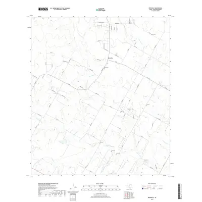
2019 Map of Rossville
USGS Topo · Published 2019About this map
The Atascosa River meanders across this South Texas landscape, anchoring a rural territory defined by long-standing family landholdings and small cemeteries. This modern survey of the Rossville area in Atascosa County reveals a dense network of burial sites that reflect the area's deep genealogical roots, including the Rossville Cem, Brite Cem, and Alvarado Cem. The road network, featuring routes like FM 476 and FM 2504, connects the scattered homesteads and ranches that characterize this part of the Brush Country. Significant watercourses like Agua Negra Cr, Palo Alto Cr, and Padilla Cr cut through the terrain, feeding into the primary river valley. The map details the local topography near Tank Hollow and Fern Hollow, providing a clear look at the drainage patterns and land use in this predominantly agricultural and ranching region south of San Antonio.
Find a feature on this map
78 named features on this map. Tap any name to fly to it.
Don’t see what you’re looking for? This feature index may not catch every label — zoom into the map to look around manually.
Map Details
Editions of this 2019 Rossville Map
This is the sole edition of this map. No revisions or reprints were ever made.
Other maps of this area

1934 · Schattel
USGS Topo · 1:62,500

1942 · Natalia
USGS Topo · 1:62,500

1953 · Crystal City
USGS Topo · 1:250,000

1954 · San Antonio
USGS Topo · 1:250,000

1955 · Crystal City
USGS Topo · 1:250,000

1956 · Jourdanton
USGS Topo · 1:62,500

1957 · San Antonio
USGS Topo · 1:250,000

1958 · Somerset
USGS Topo · 1:24,000

1958 · Thelma
USGS Topo · 1:24,000

1961 · Crystal City
USGS Topo · 1:250,000