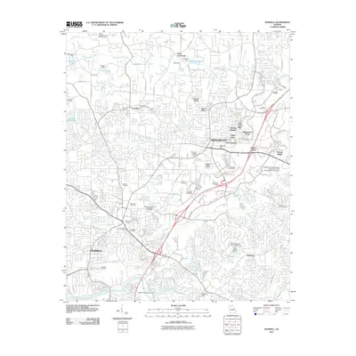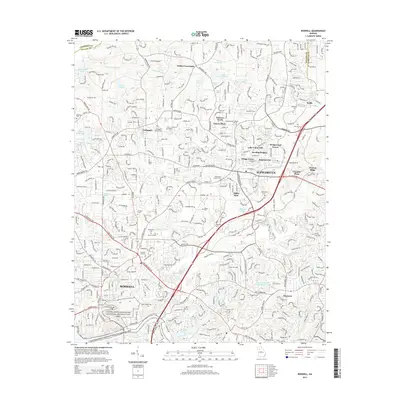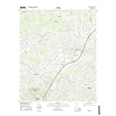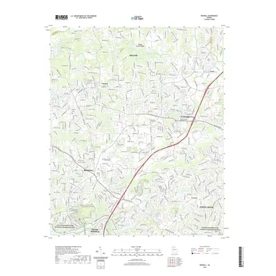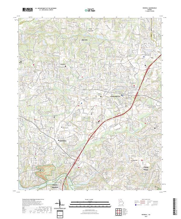
2024 Map of Roswell
USGS Topo · Published 2024About this map
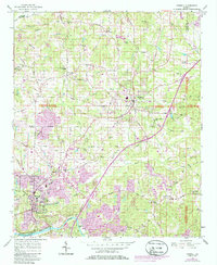
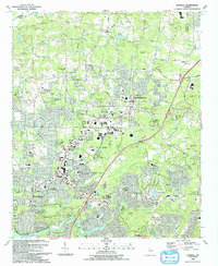
Alpharetta and Roswell sit at the center of this detailed survey, documenting a landscape where suburban development meets significant historical sites. The northern reaches of Fulton County are characterized by established crossroads like Fields Crossroads and Crabapple, while the southern border is defined by the Chattahoochee River. This contemporary map serves as an essential tool for genealogists, as it preserves the locations of numerous burial grounds, including Pleasant Hill Historical Cem, Old Roswell Cem, and Founder Cem. The presence of Hembree Spring and various tributaries like Big Creek and Foe Killer Creek illustrate the local hydrology that historically shaped the settlement patterns of Milton and Johns Creek. From the technical campus of Gwinnett Technical College Alpharetta - North Fulton Campus to the protected land of the Chattanooga River National Recreation Area, the map captures the modern infrastructure of Georgia highways like Ga 400 and Ga 140 intersecting with the area's pioneer past.
Find a feature on this map
57 named features on this map. Tap any name to fly to it.
Don’t see what you’re looking for? This feature index may not catch every label — zoom into the map to look around manually.
Map Details
Editions of this 2024 Roswell Map
This is the sole edition of this map. No revisions or reprints were ever made.
Historical Maps of Sandy Springs Through Time
7 maps found