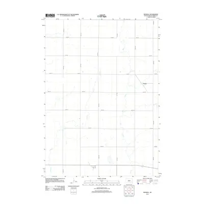
2012 Map of Roswell
USGS Topo · Published 2012About this map
Argonne sits in the eastern portion of this quadrangle, situated amidst the organized grid of section roads that characterize Miner County's agricultural landscape. The terrain is subtly defined by the winding course of Rock Cr, which meanders north to south through the center of the sheet, while Pooley Cr drains the western reaches. This 2012 survey illustrates the modern rural infrastructure of South Dakota, where the intersection of numbered routes like 426th Ave and 232nd St provides the primary framework for movement between farmsteads. A Po is marked at the southern edge of the map, serving as a functional anchor for the sparse population and highlighting the continued importance of centralized services in this vast prairie environment.
Find a feature on this map
18 named features on this map. Tap any name to fly to it.
Don’t see what you’re looking for? This feature index may not catch every label — zoom into the map to look around manually.
Map Details
Editions of this 2012 Roswell Map
This is the sole edition of this map. No revisions or reprints were ever made.
Other maps of this area

1899 · Alexandria
USGS Topo · 1:125,000

1899 · De Smet
USGS Topo · 1:125,000

1953 · Watertown
USGS Topo · 1:250,000

1955 · Sioux Falls
USGS Topo · 1:250,000

1958 · Sioux Falls
USGS Topo · 1:250,000

1958 · Watertown
USGS Topo · 1:250,000

1971 · Howard NE
USGS Topo · 1:24,000

1971 · Fedora
USGS Topo · 1:24,000

1971 · Artesian NE
USGS Topo · 1:24,000

1971 · Howard
USGS Topo · 1:24,000