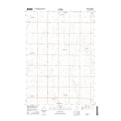
2015 Map of Roswell
USGS Topo · Published 2015About this map
Town of Roswell serves as the focal point of this Miner County landscape, situated along the southern edge of the survey area. The terrain transitions toward the northeast into the higher elevations of the Coteau des Prairies, a prominent glacial plateau that defines the regional geography. This section of South Dakota is marked by a precise grid of rural roads, including 225th St and 429th Ave, which facilitate movement between the small settlements of Roswell and Argonne. The local hydrography is dominated by the meandering paths of Pooley Cr and Rock Cr, which drain the prairie landscape. Additionally, the presence of the Miner County WPA indicates managed waterfowl production areas, a characteristic feature of this prairie pothole region that reflects long-term conservation and land-use patterns in the early 21st century.
Find a feature on this map
28 named features on this map. Tap any name to fly to it.
Don’t see what you’re looking for? This feature index may not catch every label — zoom into the map to look around manually.
Map Details
Editions of this 2015 Roswell Map
This is the sole edition of this map. No revisions or reprints were ever made.
Other maps of this area

1899 · Alexandria
USGS Topo · 1:125,000

1899 · De Smet
USGS Topo · 1:125,000

1953 · Watertown
USGS Topo · 1:250,000

1955 · Sioux Falls
USGS Topo · 1:250,000

1958 · Sioux Falls
USGS Topo · 1:250,000

1958 · Watertown
USGS Topo · 1:250,000

1971 · Howard NE
USGS Topo · 1:24,000

1971 · Fedora
USGS Topo · 1:24,000

1971 · Artesian NE
USGS Topo · 1:24,000

1971 · Howard
USGS Topo · 1:24,000