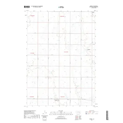
2017 Map of Roswell
USGS Topo · Published 2017About this map
Roswell sits at the southern edge of this Miner County landscape, a community defined by its proximity to the rural road grid and the nearby Saint Nicholas Cem. The terrain is characterized by the prominent Coteau des Prairies, a high plateau that shapes the local hydrology. Watercourses such as Pooley Cr and Rock Cr meander through the prairie, reflecting the natural drainage patterns of this agricultural region. To the northeast, the small settlement of Argonne appears as a quiet waypoint along the section lines. The map captures a moment in the late 2010s where the enduring layout of township and range lines, marked by routes like 233rd St and 427th Ave, continues to dictate the spatial organization of the South Dakota plains.
Find a feature on this map
22 named features on this map. Tap any name to fly to it.
Don’t see what you’re looking for? This feature index may not catch every label — zoom into the map to look around manually.
Map Details
Editions of this 2017 Roswell Map
This is the sole edition of this map. No revisions or reprints were ever made.
Other maps of this area

1899 · Alexandria
USGS Topo · 1:125,000

1899 · De Smet
USGS Topo · 1:125,000

1953 · Watertown
USGS Topo · 1:250,000

1955 · Sioux Falls
USGS Topo · 1:250,000

1958 · Sioux Falls
USGS Topo · 1:250,000

1958 · Watertown
USGS Topo · 1:250,000

1971 · Howard NE
USGS Topo · 1:24,000

1971 · Fedora
USGS Topo · 1:24,000

1971 · Artesian NE
USGS Topo · 1:24,000

1971 · Howard
USGS Topo · 1:24,000