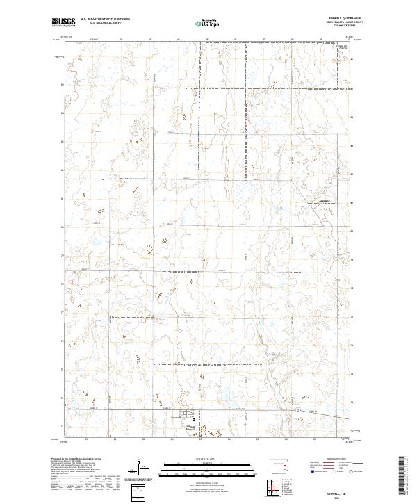
2021 Map of Roswell
USGS Topo · Published 2021About this map
The Town of Roswell serves as the primary hub of this eastern South Dakota landscape, characterized by the gradual elevation of the Coteau des Prairies. The settlement pattern follows a rigid section-line grid of rural avenues and streets, typical of the state's agricultural heartland in Miner County. Near the southern edge of town, the Saint Nicholas Cem provides a point of genealogical interest for those tracing local family histories. The terrain is defined by natural drainage systems, including the meandering paths of Rock Cr and Pooley Cr, which cut through the open plains and intermittent wetlands. To the northeast, the small community of Argonne sits near the crossing of 229th ST and 429th Ave, illustrating the scattered nature of these prairie outposts.
Find a feature on this map
25 named features on this map. Tap any name to fly to it.
Don’t see what you’re looking for? This feature index may not catch every label — zoom into the map to look around manually.
Map Details
Editions of this 2021 Roswell Map
This is the sole edition of this map. No revisions or reprints were ever made.
Other maps of this area

1899 · Alexandria
USGS Topo · 1:125,000

1899 · De Smet
USGS Topo · 1:125,000

1953 · Watertown
USGS Topo · 1:250,000

1955 · Sioux Falls
USGS Topo · 1:250,000

1958 · Sioux Falls
USGS Topo · 1:250,000

1958 · Watertown
USGS Topo · 1:250,000

1971 · Howard NE
USGS Topo · 1:24,000

1971 · Fedora
USGS Topo · 1:24,000

1971 · Artesian NE
USGS Topo · 1:24,000

1971 · Howard
USGS Topo · 1:24,000