
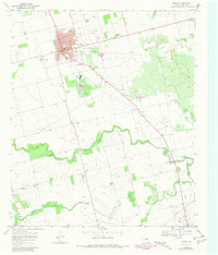
1969 Map of Rotan
USGS Topo · Published 1972About this map
Industrial activity and rural Texas life converge along the Missouri Kansas Texas railroad line, which terminates at the hub of Rotan. The town's economic landscape in the late 1960s is defined by its Gypsum Plant and proximity to multiple Gravel Pits, while the local Golf Course and Rodeo Ground point to the area's social centers. To the south, the meandering path of the Clear Fork Brazos River cuts through the plains, flanked by the smaller settlements of North Roby and Sardis. This survey captures a moment when traditional land use, represented by the Fisher Cem and Rotan Cem, persists alongside the modern infrastructure of pipelines and an Old Railroad Grade that speaks to the shifting transportation networks of Fisher County.
Find a feature on this map
23 named features on this map. Tap any name to fly to it.
Don’t see what you’re looking for? This feature index may not catch every label — zoom into the map to look around manually.
Map Details
Editions of this 1969 Rotan Map
2 editions found
Other maps of this area

1893 · Roby
USGS Topo · 1:125,000

1926 · Snyder 1-a
USGS Topo · 1:48,000

1926 · Roby 2-b
USGS Topo · 1:48,000

1931 · Rotan
USGS Topo · 1:62,500

1932 · Camp Springs
USGS Topo · 1:62,500

1954 · Big Spring
USGS Topo · 1:250,000

1958 · Big Spring
USGS Topo · 1:250,000
1969 · White Canyon
USGS Topo · 1:24,000
1969 · Poke Mountain
USGS Topo · 1:24,000

1969 · Bull Creek
USGS Topo · 1:24,000