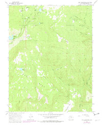
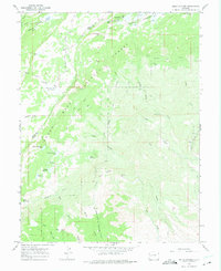
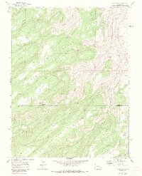
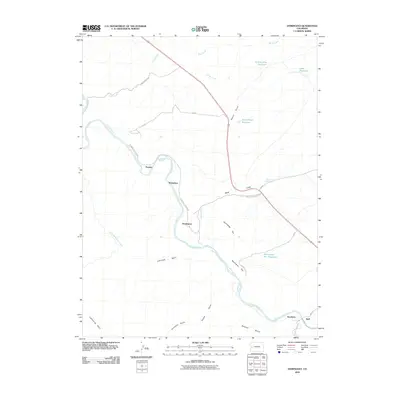
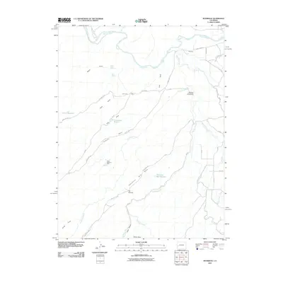
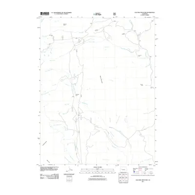
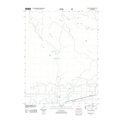
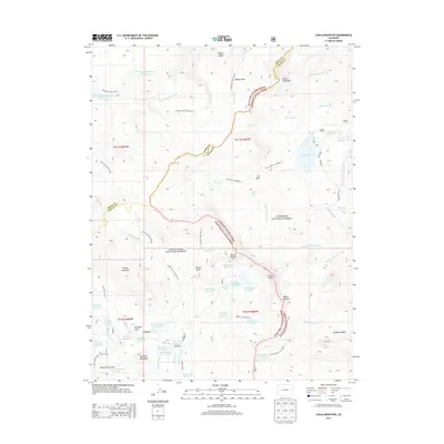
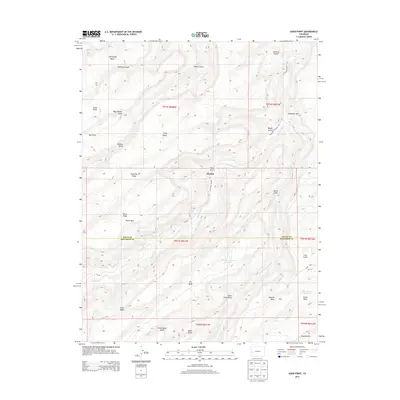
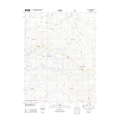
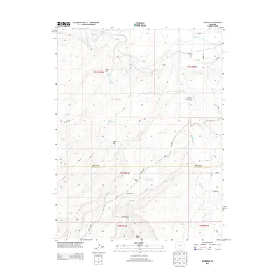
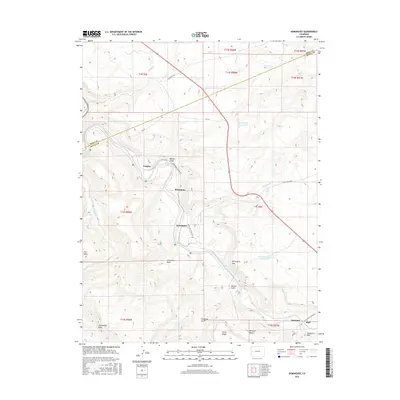
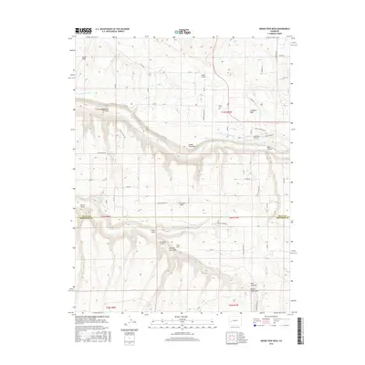
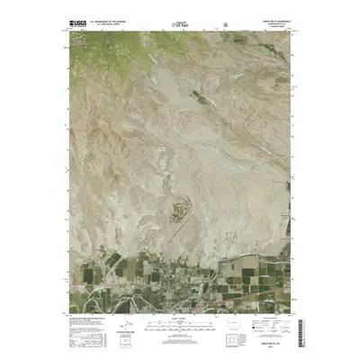
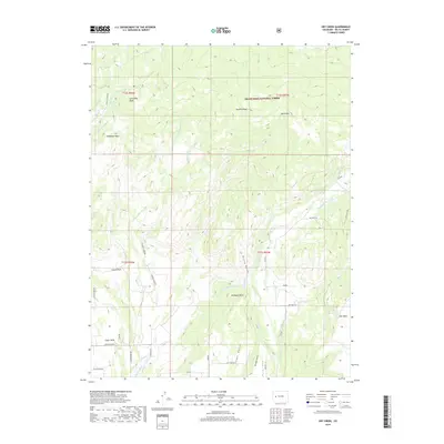
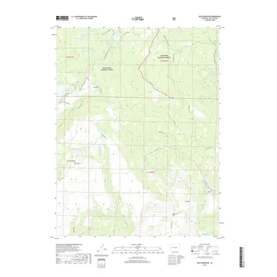
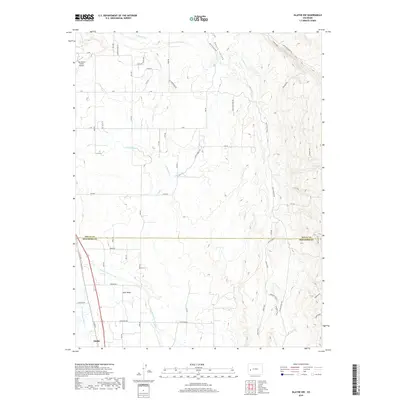
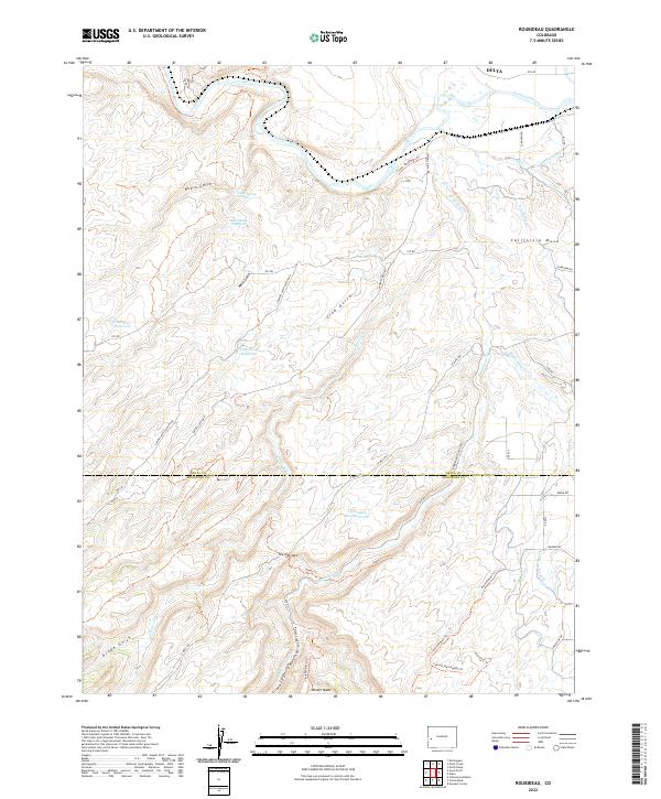
1969 Map of Roubideau
USGS Topo · Published 1991About this map
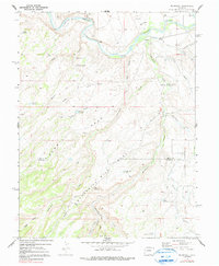
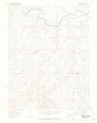
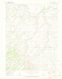
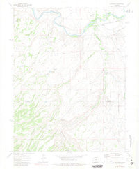
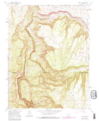
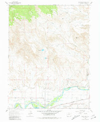
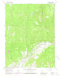
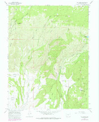
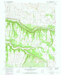
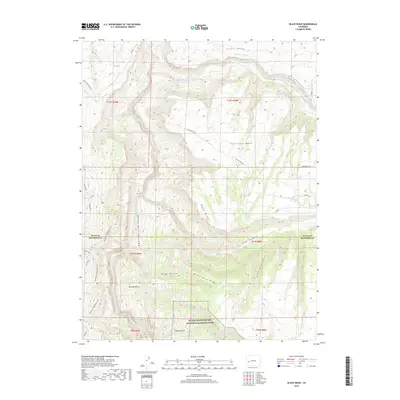
Gunnison River defines the northern reaches of this landscape, carving through the terrain where several gravel pits and the Seep drainage mark the valley floor. To the south, the topography rises sharply onto expansive plateaus, most notably Sawmill Mesa and Twentyfive Mile Mesa. The area is characterized by an intricate network of drainages and gulches, including Roubideau Creek and Cottonwood Gulch, which have necessitated the construction of small-scale water management features like Twentyfive Mesa Reservoir and Club Gulch Reservoir.
Find a feature on this map
33 named features on this map. Tap any name to fly to it.
Don’t see what you’re looking for? This feature index may not catch every label — zoom into the map to look around manually.
Map Details
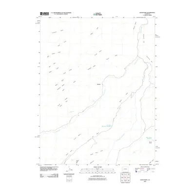
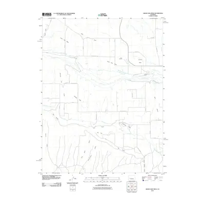
Editions of this 1969 Roubideau Map
4 editions found
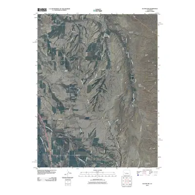
Historical Maps of Delta Through Time
92 maps found
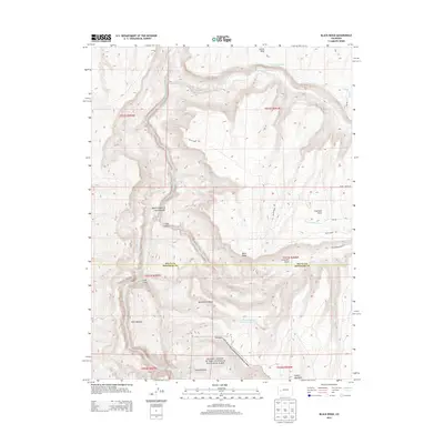
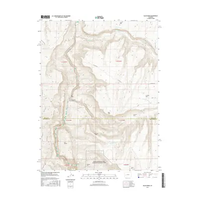
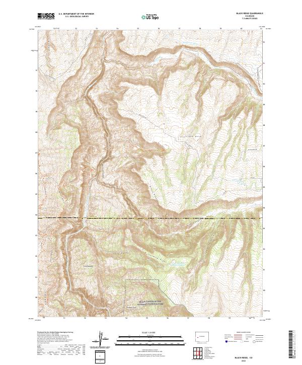
1955 Black Ridge
Delta County, CO
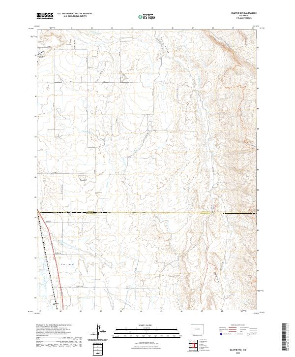
1955 Olathe NW
Delta County, CO

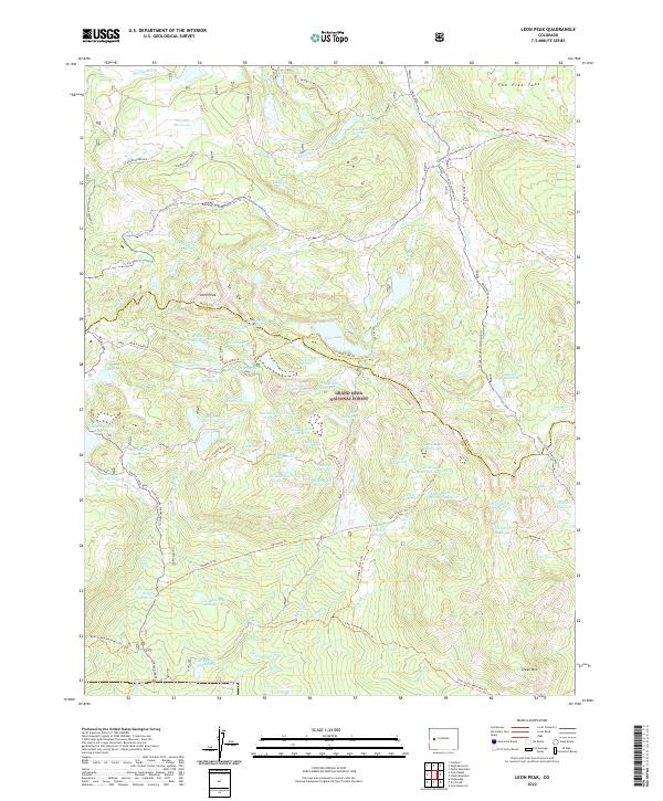
1960 Leon Peak
Delta County, CO
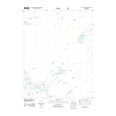
1961 Chalk Mountain
Delta County, CO
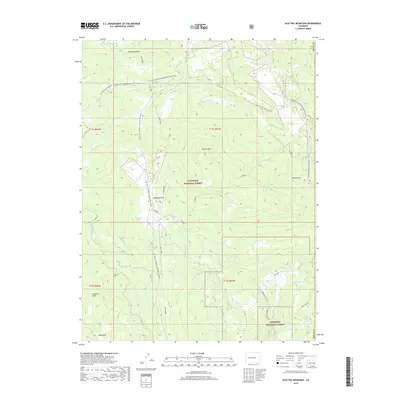
1961 Electric Mountain
Delta County, CO
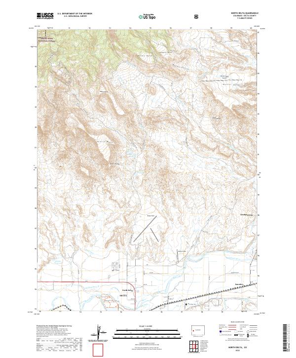
1962 North Delta
Delta County, CO
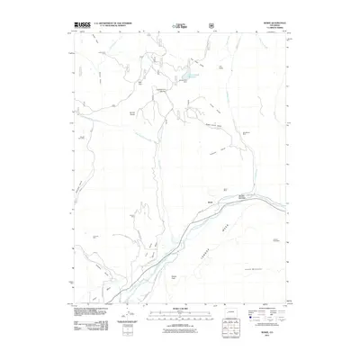
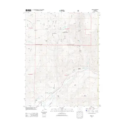
1965 Bowie
Delta County, CO
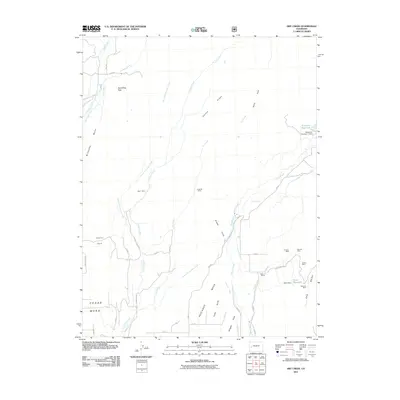
1965 Dry Creek
Delta County, CO
1965 Grand View Mesa
Delta County, CO
1965 Gray Reservoir
Delta County, CO
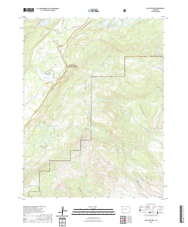
1965 Hells Kitchen
Delta County, CO
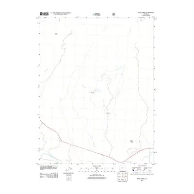
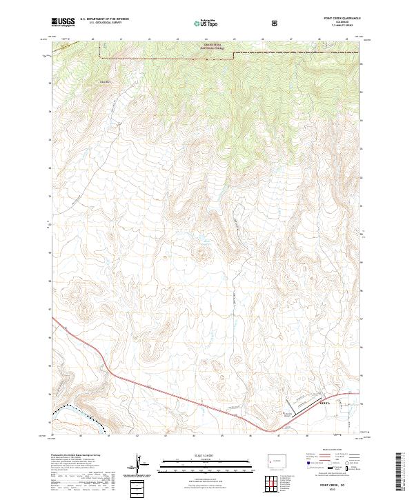
1965 Point Creek
Delta County, CO
1969 Dominguez
Delta County, CO
1969 Good Point
Delta County, CO
1969 Roubideau
Delta County, CO
2001 Bowie
Delta County, CO
2001 Electric Mountain
Delta County, CO
2010 Black Ridge
Delta County, CO
2010 Dominguez
Delta County, CO
2010 Good Point
Delta County, CO
2010 Grand View Mesa
Delta County, CO
2010 Olathe NW
Delta County, CO
2010 Roubideau
Delta County, CO
2011 Bowie
Delta County, CO
2011 Chalk Mountain
Delta County, CO
2011 Dry Creek
Delta County, CO
2011 Electric Mountain
Delta County, CO
2011 Gray Reservoir
Delta County, CO
2011 Hells Kitchen
Delta County, CO
2011 Leon Peak
Delta County, CO
2011 North Delta
Delta County, CO
2011 Point Creek
Delta County, CO
2013 Black Ridge
Delta County, CO
2013 Bowie
Delta County, CO
2013 Chalk Mountain
Delta County, CO
2013 Dominguez
Delta County, CO
2013 Dry Creek
Delta County, CO
2013 Electric Mountain
Delta County, CO
2013 Good Point
Delta County, CO
2013 Grand View Mesa
Delta County, CO
2013 Gray Reservoir
Delta County, CO
2013 Hells Kitchen
Delta County, CO
2013 Leon Peak
Delta County, CO
2013 North Delta
Delta County, CO
2013 Olathe NW
Delta County, CO
2013 Point Creek
Delta County, CO
2013 Roubideau
Delta County, CO
2016 Black Ridge
Delta County, CO
2016 Bowie
Delta County, CO
2016 Chalk Mountain
Delta County, CO
2016 Dominguez
Delta County, CO
2016 Dry Creek
Delta County, CO
2016 Electric Mountain
Delta County, CO
2016 Good Point
Delta County, CO
2016 Grand View Mesa
Delta County, CO
2016 Gray Reservoir
Delta County, CO
2016 Hells Kitchen
Delta County, CO
2016 Leon Peak
Delta County, CO
2016 North Delta
Delta County, CO
2016 Olathe NW
Delta County, CO
2016 Point Creek
Delta County, CO
2016 Roubideau
Delta County, CO
2019 Black Ridge
Delta County, CO
2019 Bowie
Delta County, CO
2019 Chalk Mountain
Delta County, CO
2019 Dominguez
Delta County, CO
2019 Dry Creek
Delta County, CO
2019 Electric Mountain
Delta County, CO
2019 Good Point
Delta County, CO
2019 Grand View Mesa
Delta County, CO
2019 Gray Reservoir
Delta County, CO
2019 Hells Kitchen
Delta County, CO
2019 Leon Peak
Delta County, CO
2019 North Delta
Delta County, CO
2019 Olathe NW
Delta County, CO
2019 Point Creek
Delta County, CO
2019 Roubideau
Delta County, CO
2022 Black Ridge
Delta County, CO
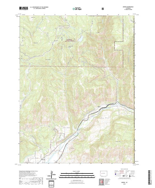
2022 Bowie
Delta County, CO
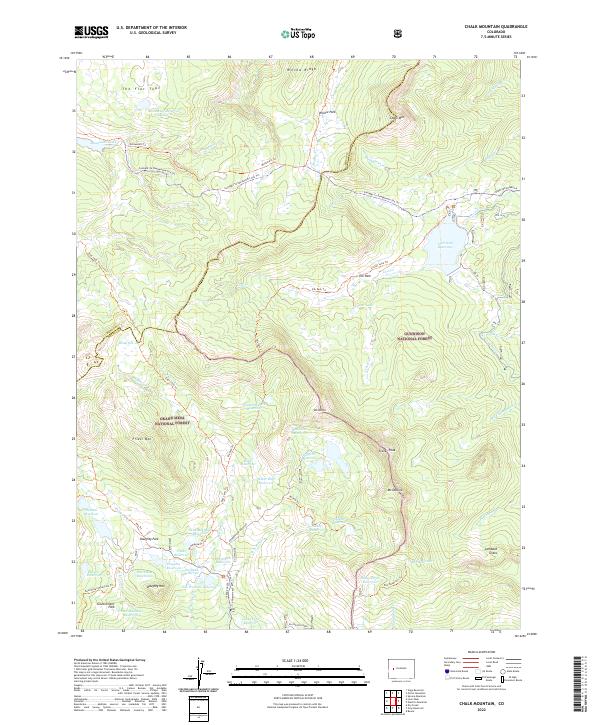
2022 Chalk Mountain
Delta County, CO
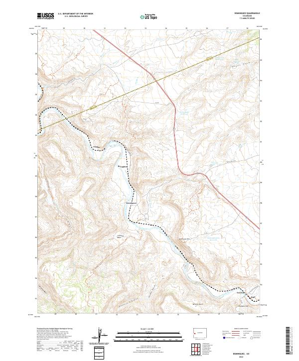
2022 Dominguez
Delta County, CO
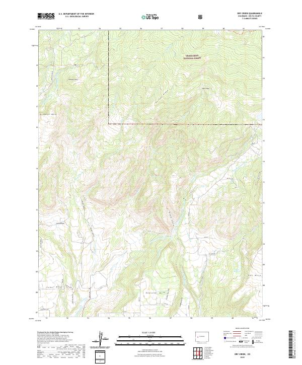
2022 Dry Creek
Delta County, CO
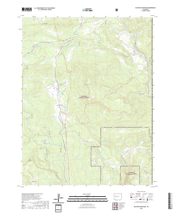
2022 Electric Mountain
Delta County, CO
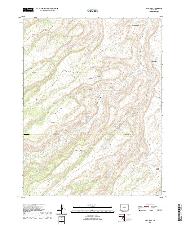
2022 Good Point
Delta County, CO
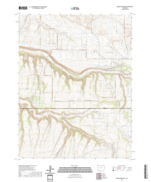
2022 Grand View Mesa
Delta County, CO
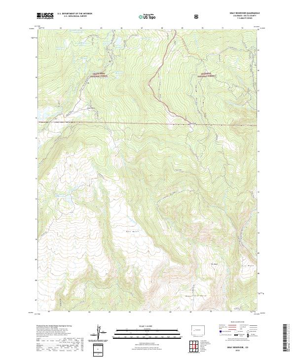
2022 Gray Reservoir
Delta County, CO
2022 Hells Kitchen
Delta County, CO
2022 Leon Peak
Delta County, CO
2022 North Delta
Delta County, CO
2022 Olathe NW
Delta County, CO
2022 Point Creek
Delta County, CO
2022 Roubideau
Delta County, CO