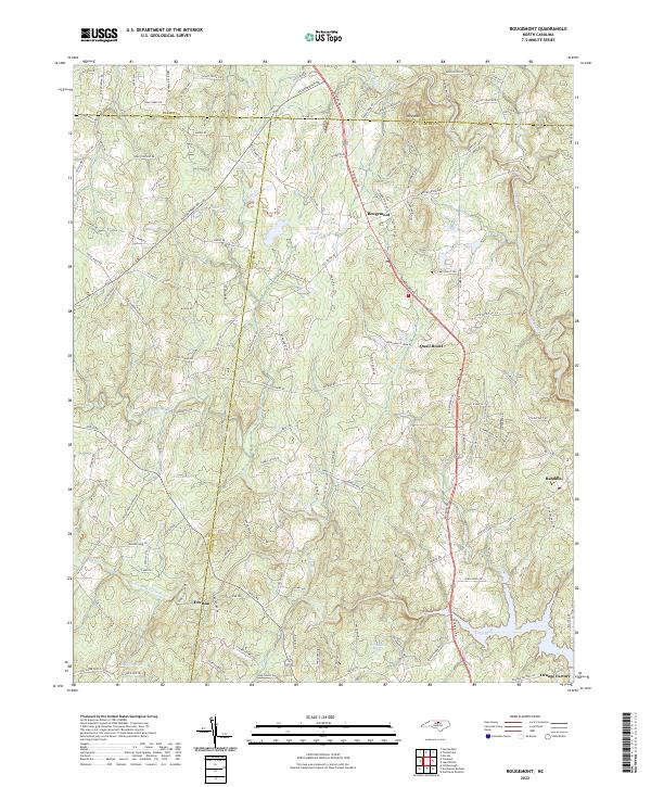
2022 Map of Rougemont
USGS Topo · Published 2022About this map
Rougemont serves as a central hub in this landscape where the boundaries of Person, Orange, and Durham counties converge. The terrain is defined by the prominent Red Mtn and a complex network of waterways that feed into larger reservoirs. Significant water bodies like Lake Rogers, Lake Butner, and Lake Orange anchor the surrounding rural residential developments and agricultural tracts.
Find a feature on this map
137 named features on this map. Tap any name to fly to it.
Don’t see what you’re looking for? This feature index may not catch every label — zoom into the map to look around manually.
Map Details
Editions of this 2022 Rougemont Map
This is the sole edition of this map. No revisions or reprints were ever made.
Other maps of this area

1943 · Roxboro
USGS Topo · 1:62,500

1951 · Durham North
USGS Topo · 1:62,500

1953 · Greensboro
USGS Topo · 1:250,000

1954 · Greensboro
USGS Topo · 1:250,000

1962 · Greensboro
USGS Topo · 1:250,000

1966 · Greensboro
USGS Topo · 1:250,000
1968 · Hillsborough
USGS Topo · 1:24,000

1968 · Caldwell
USGS Topo · 1:24,000

1968 · Hurdle Mills
USGS Topo · 1:24,000
1973 · Northeast Durham
USGS Topo · 1:24,000